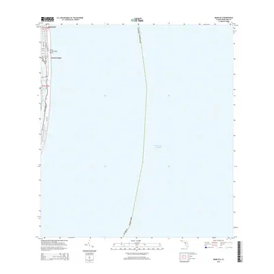
2015 Map of Miami OE E
USGS Topo · Published 2015About this map
Surfside and the neighborhood of Atlantic Heights occupy the narrow barrier island between the Atlantic Ocean and the sheltered waters of Biscayne Bay. This coastal corridor is defined by a dense grid of residential and commercial streets, including Collins Ave and Harding Ave, which run parallel to the shore. The landscape highlights the intensive development characteristic of the South Florida coastline in the early 21st century, where public access is maintained at Ocean Terrace Public Beach and along the local Boardwalk. To the west, the map traces the winding course of Indian Creek, separating the beachfront blocks from the protected inlets of the bay. This 2015 survey provides a clear look at the urban infrastructure of the Miami Beach area, from the numbered cross-streets like 75th St and 74th St to the established property boundaries of township T53S R42E.
Find a feature on this map
24 named features on this map. Tap any name to fly to it.
Don’t see what you’re looking for? This feature index may not catch every label — zoom into the map to look around manually.
Map Details
Editions of this 2015 Miami OE E Map
This is the sole edition of this map. No revisions or reprints were ever made.
Other maps of this area

1947 · North Miami
USGS Topo · 1:24,000

1947 · Key Biscayne
USGS Topo · 1:24,000

1949 · Key Biscayne
USGS Topo · 1:24,000

1950 · Miami
USGS Topo · 1:24,000

1950 · North Miami
USGS Topo · 1:24,000

1956 · Miami
USGS Topo · 1:250,000

1958 · Miami
USGS Topo · 1:250,000
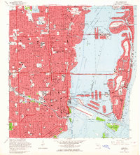
1962 · Miami
USGS Topo · 1:24,000
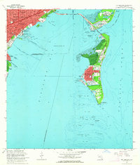
1962 · Key Biscayne
USGS Topo · 1:24,000
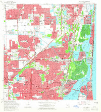
1962 · North Miami
USGS Topo · 1:24,000