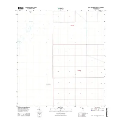
2015 Map of Royal Palm Ranger Station SE
USGS Topo · Published 2015About this map
Everglades National Park dominates this section of South Florida, revealing a landscape defined by critical water management and preserved wetlands. In the mid-2010s, this area reflects the intersection of environmental conservation and the massive engineering required to navigate the marshy terrain. The presence of the Aerojet Canal Number C-111 and Canal 111E indicates the complex drainage and irrigation systems that characterize Miami-Dade County's rural outskirts. Natural features like the Taylor Slough and Paradise Key stand out against the systematic grid of the Public Land Survey System, which divides the terrain into townships like t58s r38e and t59s r38e. While mostly wilderness, the northern edge includes the terminus of SW 424th St, marking the boundary between the wild expanse and the encroaching development of the region.
Find a feature on this map
8 named features on this map. Tap any name to fly to it.
Don’t see what you’re looking for? This feature index may not catch every label — zoom into the map to look around manually.
Map Details
Editions of this 2015 Royal Palm Ranger Station SE Map
This is the sole edition of this map. No revisions or reprints were ever made.
Other maps of this area

1947 · Blackwater Sound
USGS Topo · 1:24,000

1949 · Blackwater Sound
USGS Topo · 1:24,000

1950 · Homestead
USGS Topo · 1:24,000

1950 · Glades
USGS Topo · 1:24,000

1956 · Homestead
USGS Topo · 1:24,000

1956 · Royal Palm Ranger Station
USGS Topo · 1:24,000

1956 · Glades
USGS Topo · 1:24,000

1956 · Royal Palm Ranger Station SE
USGS Topo · 1:24,000

1956 · Miami
USGS Topo · 1:250,000

1958 · Miami
USGS Topo · 1:250,000