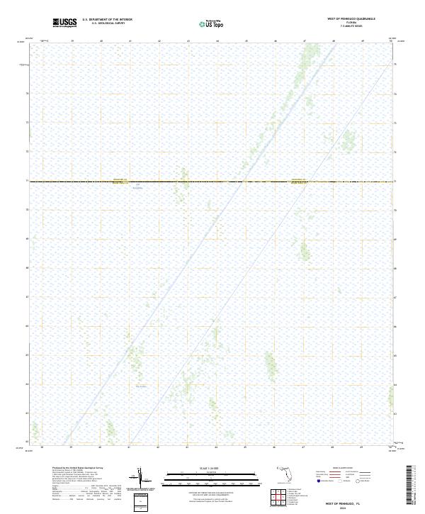
2024 Map of West of Pennsuco
USGS Topo · Published 2024About this map
The Everglades dominates this landscape, showing the vast watery expanse of South Florida's interior. This contemporary survey focuses on a remote section of the wetlands where the boundary between Miami-Dade Co and Broward Co bisects the terrain. Unlike developed coastal areas, this region is defined by natural water systems and subtle topographical shifts, notably the area identified as The Pocket. The map provides a clear look at the modern conservation landscape, where the absence of roads or permanent settlements highlights the protected state of this unique ecosystem. Researchers of South Florida's geography can use this record to understand the current hydrological patterns and land designations that separate these two major counties within the larger Everglades system.
Find a feature on this map
3 named features on this map. Tap any name to fly to it.
Don’t see what you’re looking for? This feature index may not catch every label — zoom into the map to look around manually.
Map Details
Editions of this 2024 West of Pennsuco Map
This is the sole edition of this map. No revisions or reprints were ever made.
Other maps of this area

1956 · Miami
USGS Topo · 1:250,000

1956 · West Palm Beach
USGS Topo · 1:250,000

1957 · West Palm Beach
USGS Topo · 1:250,000

1958 · West Palm Beach
USGS Topo · 1:250,000

1958 · Miami
USGS Topo · 1:250,000

1963 · Pennsuco
USGS Topo · 1:24,000

1963 · Cooper City SW
USGS Topo · 1:24,000

1973 · Custard Apple Hammock
USGS Topo · 1:24,000

1973 · West Of Pennsuco
USGS Topo · 1:24,000

1973 · Everglades 4 SE
USGS Topo · 1:24,000