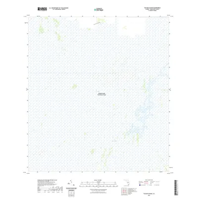
2021 Map of Taylor Slough
USGS Topo · Published 2021About this map
Everglades National Park covers the vast majority of this landscape, protecting a complex aquatic ecosystem in Miami-Dade County. The terrain is characterized by the slow southward flow of The Everglades, where a subtle network of wetlands and sawgrass marshes dominates the survey. A primary hydrological feature, Taylor Slough, is clearly visible as it drains toward the coast, serving as a critical artery for freshwater distribution. Human activity is largely restricted to the northern edge of the quadrangle, where Nike Missile Base Road provides access into the protected area. This modern survey reflects the enduring priority of conservation in South Florida, documenting the intersection of military-era infrastructure and the ongoing restoration of natural water flow patterns through the sloughs.
Find a feature on this map
4 named features on this map. Tap any name to fly to it.
Don’t see what you’re looking for? This feature index may not catch every label — zoom into the map to look around manually.
Map Details
Editions of this 2021 Taylor Slough Map
This is the sole edition of this map. No revisions or reprints were ever made.
Other maps of this area

1956 · Royal Palm Ranger Station
USGS Topo · 1:24,000

1956 · Royal Palm Ranger Station SE
USGS Topo · 1:24,000

1956 · Miami
USGS Topo · 1:250,000

1958 · Miami
USGS Topo · 1:250,000

1967 · Royal Palm Ranger Station SE
USGS Topo · 1:24,000

1972 · Mahogany Hammock
USGS Topo · 1:24,000

1972 · Taylor Slough
USGS Topo · 1:24,000

1972 · Madeira Bay
USGS Topo · 1:24,000

1972 · West Lake
USGS Topo · 1:24,000

1972 · Long Pine Key
USGS Topo · 1:24,000