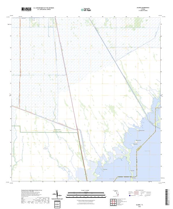
2024 Map of Glades
USGS Topo · Published 2024About this map
Everglades National Park and the Marjory Stoneman Douglas Wilderness dominate this southern Florida landscape, where freshwater marshes meet the saltwater systems of the Atlantic coast. The map illustrates a complex network of artificial waterways designed for water management, including Canal Number C-109, Canal Number C-110, and the Aerojet Canal Number C-111. These engineering features intersect with the natural expanse of The Everglades, highlighting the ongoing balance between human infrastructure and wetland preservation.
Find a feature on this map
28 named features on this map. Tap any name to fly to it.
Don’t see what you’re looking for? This feature index may not catch every label — zoom into the map to look around manually.
Map Details
Editions of this 2024 Glades Map
This is the sole edition of this map. No revisions or reprints were ever made.
Other maps of this area

1947 · Garden Cove
USGS Topo · 1:24,000

1947 · Blackwater Sound
USGS Topo · 1:24,000

1949 · Blackwater Sound
USGS Topo · 1:24,000

1949 · Garden Cove
USGS Topo · 1:24,000

1949 · Card Sound
USGS Topo · 1:24,000

1949 · Arsenicker Keys
USGS Topo · 1:24,000

1950 · Homestead
USGS Topo · 1:24,000

1950 · Glades
USGS Topo · 1:24,000

1956 · Card Sound
USGS Topo · 1:24,000

1956 · Homestead
USGS Topo · 1:24,000