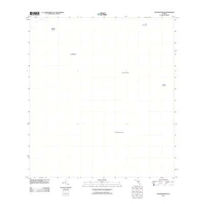
2012 Map of Panther Mound
USGS Topo · Published 2012About this map
Moss Camp Seminole Village stands as a focal point in this remote landscape of the Florida Everglades, reflecting the enduring presence of Indigenous communities within this distinctive terrain. The area is characterized by a series of tropical hardwood hammocks, which rise like islands above the surrounding wetlands. These features, including Pot Hammock, Guava Hammock, and Cane Mill Hammock, provided critical high ground for traditional settlement and agriculture. The eponymous Panther Mound in the east suggests a landscape shaped by both natural processes and ancient human activity. At Tenmile Corner in the northwest, the intersection of early routes and boundaries provides a glimpse into the logistical challenges of surveying and navigating this environment in the early 21st century.
Find a feature on this map
6 named features on this map. Tap any name to fly to it.
Don’t see what you’re looking for? This feature index may not catch every label — zoom into the map to look around manually.
Map Details
Editions of this 2012 Panther Mound Map
This is the sole edition of this map. No revisions or reprints were ever made.
Other maps of this area

1956 · Miami
USGS Topo · 1:250,000

1958 · Miami
USGS Topo · 1:250,000

1972 · Shark Valley Lookout Tower
USGS Topo · 1:24,000

1972 · Lostmans Trail
USGS Topo · 1:24,000

1972 · Chekika Island
USGS Topo · 1:24,000

1972 · Long Pine Key
USGS Topo · 1:24,000

1972 · Panther Mound
USGS Topo · 1:24,000

1972 · Tarpon Bay
USGS Topo · 1:24,000

1972 · Indian Camp Creek
USGS Topo · 1:24,000

1972 · Pa Hay Okee Lookout Tower
USGS Topo · 1:24,000