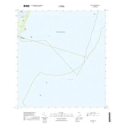
2018 Map of Pacific Reef
USGS Topo · Published 2018About this map
Biscayne National Park dominates this maritime survey, showcasing the fragile archipelago and underwater topography of the northern Florida Keys. The terrestrial focus centers on Old Rhodes Key, where the transition from mangrove shoreline to open water is marked by Old Rhodes Point and the sheltered waters of Jones Lagoon. These features, along with the settlement of Islandia, reflect the unique isolated geography of this island chain before modern development patterns could reach these remote sections of the coast.
Find a feature on this map
14 named features on this map. Tap any name to fly to it.
Don’t see what you’re looking for? This feature index may not catch every label — zoom into the map to look around manually.
Map Details
Editions of this 2018 Pacific Reef Map
This is the sole edition of this map. No revisions or reprints were ever made.
Other maps of this area

1947 · Garden Cove
USGS Topo · 1:24,000

1949 · Garden Cove
USGS Topo · 1:24,000

1949 · Elliott Key
USGS Topo · 1:24,000

1949 · Card Sound
USGS Topo · 1:24,000

1949 · Pacific Reef
USGS Topo · 1:24,000

1949 · Arsenicker Keys
USGS Topo · 1:24,000

1956 · Card Sound
USGS Topo · 1:24,000
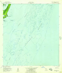
1956 · Pacific Reef
USGS Topo · 1:24,000
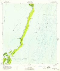
1956 · Elliott Key
USGS Topo · 1:24,000
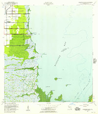
1956 · Arsenicker Keys
USGS Topo · 1:24,000