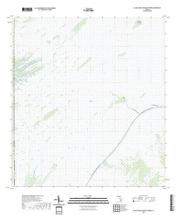
2024 Map of Pa-Hay-Okee Lookout Tower
USGS Topo · Published 2024About this map
Marjory Stoneman Douglas Wilderness dominates this corner of the South Florida landscape, where the vast, slow-moving waters of The Everglades define the terrain. The map details the hydrology of the western Shark River Slough, showing the source of the Rookery Branch and the North River as they thread through the sawgrass and mangroves near the border of Monroe and Miami-Dade counties.
Find a feature on this map
10 named features on this map. Tap any name to fly to it.
Don’t see what you’re looking for? This feature index may not catch every label — zoom into the map to look around manually.
Map Details
Editions of this 2024 Pa-Hay-Okee Lookout Tower Map
This is the sole edition of this map. No revisions or reprints were ever made.
Other maps of this area

1956 · Miami
USGS Topo · 1:250,000

1958 · Miami
USGS Topo · 1:250,000

1972 · Whitewater Bay East
USGS Topo · 1:24,000

1972 · Mahogany Hammock
USGS Topo · 1:24,000

1972 · Taylor Slough
USGS Topo · 1:24,000

1972 · Long Pine Key
USGS Topo · 1:24,000

1972 · Panther Mound
USGS Topo · 1:24,000

1972 · Tarpon Bay
USGS Topo · 1:24,000

1972 · Indian Camp Creek
USGS Topo · 1:24,000

1972 · Pa Hay Okee Lookout Tower
USGS Topo · 1:24,000