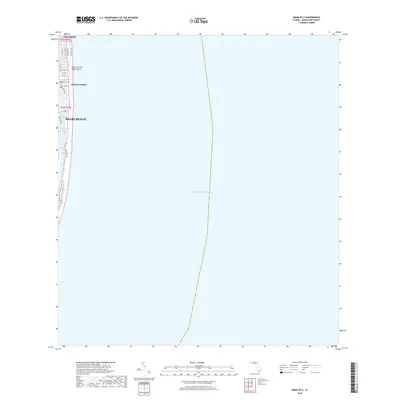
2018 Map of Miami OE E
USGS Topo · Published 2018About this map
Miami Beach occupies the narrow, developed strip of land between the Atlantic Ocean and the sheltered waters of Biscayne Bay in this 2018 survey. The map highlights the intensive coastal grid of the barrier island, where thoroughfares like Collins Ave and Indian Creek Dr connect the distinct neighborhoods of Surfside and Atlantic Heights. The geography is defined by the intricate relationship between residential blocks and the water, seen in the finger-like canals of the Tatum Waterway and the winding course of Indian Creek. Along the eastern edge, the Ocean Terrace Public Beach remains the primary landmark of the shoreline. The survey illustrates the high density of this resort and residential corridor, showing the precise layout of streets from 75th St down through the lower beach reaches during the late 2010s.
Find a feature on this map
21 named features on this map. Tap any name to fly to it.
Don’t see what you’re looking for? This feature index may not catch every label — zoom into the map to look around manually.
Map Details
Editions of this 2018 Miami OE E Map
This is the sole edition of this map. No revisions or reprints were ever made.
Other maps of this area

1947 · North Miami
USGS Topo · 1:24,000

1947 · Key Biscayne
USGS Topo · 1:24,000

1949 · Key Biscayne
USGS Topo · 1:24,000

1950 · Miami
USGS Topo · 1:24,000

1950 · North Miami
USGS Topo · 1:24,000

1956 · Miami
USGS Topo · 1:250,000

1958 · Miami
USGS Topo · 1:250,000
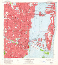
1962 · Miami
USGS Topo · 1:24,000
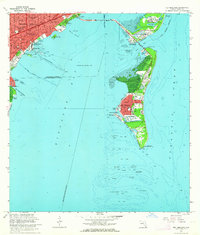
1962 · Key Biscayne
USGS Topo · 1:24,000
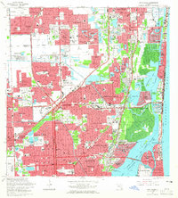
1962 · North Miami
USGS Topo · 1:24,000