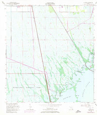
1956 Map of Glades
USGS Topo · Published 1974About this map
Everglades National Park occupies the vast majority of this 1970s-era landscape, where the freshwater marsh meets the brackish waters of the coast. The transition from sawgrass prairie to mangrove shoreline is marked by a complex network of channels and keys, including Middle Key, Short Key, and Main Key. The presence of the Control Gate at the intersection of Canal 111 and the Glades Canal illustrates the mid-century water management efforts aimed at controlling drainage and salt water intrusion in the southern Florida peninsula.
Find a feature on this map
16 named features on this map. Tap any name to fly to it.
Don’t see what you’re looking for? This feature index may not catch every label — zoom into the map to look around manually.
Map Details
Editions of this 1956 Glades Map
4 editions found


Other maps of this area

1947 · Garden Cove
USGS Topo · 1:24,000

1947 · Blackwater Sound
USGS Topo · 1:24,000

1949 · Blackwater Sound
USGS Topo · 1:24,000

1949 · Garden Cove
USGS Topo · 1:24,000

1949 · Card Sound
USGS Topo · 1:24,000

1949 · Arsenicker Keys
USGS Topo · 1:24,000

1950 · Homestead
USGS Topo · 1:24,000

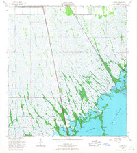
1950 · Glades
USGS Topo · 1:24,000

1956 · Card Sound
USGS Topo · 1:24,000

1956 · Homestead
USGS Topo · 1:24,000