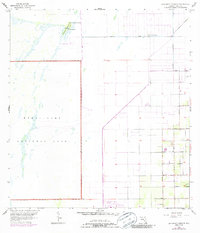
1956 Map of Grossman Hammock
USGS Topo · Published 1987About this map
Everglades National Park dominates the western half of this landscape, marking a sharp boundary between preserved wetlands and the encroaching agricultural and residential grid of South Florida. During the mid-1950s, the transition from the wild marsh of the Everglades to the structured townships of T 56 S is clearly defined by drainage patterns and pioneering roadways. Grossman Hammock serves as a notable natural landmark within the park boundary, anchored by Lake Chekika and a nearby spring. To the east, the map reveals the early development of rural infrastructure, where family-named thoroughfares like Bauer Drive and Silver Palm Drive begin to dissect the flat terrain. Aviation history is present through the Homestead General Airport and various landing strips, reflecting the region's reliance on air travel and navigation, including a dedicated Radio Range Station.
Find a feature on this map
23 named features on this map. Tap any name to fly to it.
Don’t see what you’re looking for? This feature index may not catch every label — zoom into the map to look around manually.
Map Details
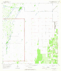
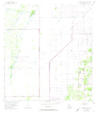
Editions of this 1956 Grossman Hammock Map
4 editions found
Other maps of this area

1949 · South Miami NW
USGS Topo · 1:24,000

1949 · Goulds
USGS Topo · 1:24,000

1950 · Homestead
USGS Topo · 1:24,000

1955 · South Miami NW
USGS Topo · 1:24,000

1956 · Goulds
USGS Topo · 1:24,000

1956 · Grossman Hammock
USGS Topo · 1:24,000

1956 · Homestead
USGS Topo · 1:24,000

1956 · Royal Palm Ranger Station
USGS Topo · 1:24,000

1956 · Miami
USGS Topo · 1:250,000

1958 · Miami
USGS Topo · 1:250,000