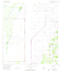
1956 Map of Grossman Hammock
USGS Topo · Published 1974About this map
Everglades National Park meets the expanding agricultural and residential frontier of Dade County in this mid-century survey. The western half of the map is defined by the unique hydrology of the Everglades, featuring the seasonal waters of Lake Chekika and a nearby Spring. These natural features are anchored by Grossman Hammock, a distinctive tree island rising from the surrounding marsh. Moving east, the landscape transitions into a rigid grid of citrus groves and residential expansion, with family-named corridors such as Bauer Drive and Silver Palm Drive marking the terrain.
Find a feature on this map
22 named features on this map. Tap any name to fly to it.
Don’t see what you’re looking for? This feature index may not catch every label — zoom into the map to look around manually.
Map Details
Editions of this 1956 Grossman Hammock Map
4 editions found
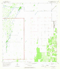
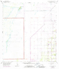
Other maps of this area

1949 · South Miami NW
USGS Topo · 1:24,000

1949 · Goulds
USGS Topo · 1:24,000

1950 · Homestead
USGS Topo · 1:24,000

1955 · South Miami NW
USGS Topo · 1:24,000

1956 · Goulds
USGS Topo · 1:24,000

1956 · Grossman Hammock
USGS Topo · 1:24,000

1956 · Homestead
USGS Topo · 1:24,000

1956 · Royal Palm Ranger Station
USGS Topo · 1:24,000

1956 · Miami
USGS Topo · 1:250,000

1958 · Miami
USGS Topo · 1:250,000