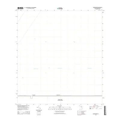
2015 Map of Coopertown
USGS Topo · Published 2015About this map
Everglades National Park dominates the southern boundary of this region, where the vast wetlands meet the managed water infrastructure of Miami-Dade County. The settlements of Coopertown and Frog City sit as outposts along the corridor defined by the Tamiami Canal Number C-4, reflecting the unique human footprint in this low-lying landscape. The geography is characterized by linear water management features, including the Agricultural Canal, which cuts through the northern portion of the quadrangle. This 2015 survey illustrates the delicate balance between conservation land and the engineered drainage systems required to manage the South Florida ecosystem.
Find a feature on this map
5 named features on this map. Tap any name to fly to it.
Don’t see what you’re looking for? This feature index may not catch every label — zoom into the map to look around manually.
Map Details
Editions of this 2015 Coopertown Map
This is the sole edition of this map. No revisions or reprints were ever made.
Other maps of this area

1949 · South Miami NW
USGS Topo · 1:24,000

1955 · South Miami NW
USGS Topo · 1:24,000

1956 · Miami
USGS Topo · 1:250,000

1958 · Miami
USGS Topo · 1:250,000

1963 · Pennsuco
USGS Topo · 1:24,000

1972 · Chekika Island
USGS Topo · 1:24,000

1972 · South Of Coopertown
USGS Topo · 1:24,000

1973 · Custard Apple Hammock
USGS Topo · 1:24,000

1973 · West Of Pennsuco
USGS Topo · 1:24,000

1973 · Long Island
USGS Topo · 1:24,000