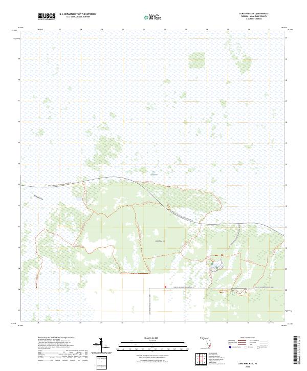
2024 Map of Long Pine Key
USGS Topo · Published 2024About this map
Marjory Stoneman Douglas Wilderness preserves the intricate wetland ecosystem of The Everglades in this modern topographical study. The terrain is characterized by the subtle elevation of Long Pine Key, a critical upland habitat surrounded by vast sawgrass prairies. A network of numbered hiking trails, such as Fr#1/Hiking Trl and Fr#5/Hiking Trl, snakes through the limestone ridges and pine rocklands.
Find a feature on this map
21 named features on this map. Tap any name to fly to it.
Don’t see what you’re looking for? This feature index may not catch every label — zoom into the map to look around manually.
Map Details
Editions of this 2024 Long Pine Key Map
This is the sole edition of this map. No revisions or reprints were ever made.
Other maps of this area

1956 · Grossman Hammock
USGS Topo · 1:24,000

1956 · Royal Palm Ranger Station
USGS Topo · 1:24,000

1956 · Royal Palm Ranger Station SE
USGS Topo · 1:24,000

1956 · Miami
USGS Topo · 1:250,000

1958 · Miami
USGS Topo · 1:250,000

1967 · Royal Palm Ranger Station SE
USGS Topo · 1:24,000

1972 · Mahogany Hammock
USGS Topo · 1:24,000

1972 · Taylor Slough
USGS Topo · 1:24,000

1972 · Long Pine Key
USGS Topo · 1:24,000

1972 · Panther Mound
USGS Topo · 1:24,000