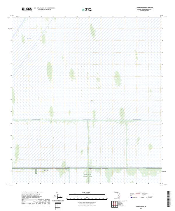
2024 Map of Coopertown
USGS Topo · Published 2024About this map
The Everglades define this landscape, dominated by the vast sawgrass marshes and tree islands of Everglades National Park. Human settlement is concentrated along the southern edge of the sheet, following the corridor established by the Tamiami Canal Number C-4. Small outposts like Coopertown and Frog City represent the limited development in this watery environment, which remains largely inaccessible except by boat or specialized transport. The map highlights the critical role of water management in South Florida, featuring the Agricultural Canal and the distinctive indentation of The Pocket in the northern marshes. The geography illustrates the tension between the preserved wilderness of the park and the infrastructure required to manage the regional water table.
Find a feature on this map
9 named features on this map. Tap any name to fly to it.
Don’t see what you’re looking for? This feature index may not catch every label — zoom into the map to look around manually.
Map Details
Editions of this 2024 Coopertown Map
This is the sole edition of this map. No revisions or reprints were ever made.
Other maps of this area

1949 · South Miami NW
USGS Topo · 1:24,000

1955 · South Miami NW
USGS Topo · 1:24,000

1956 · Miami
USGS Topo · 1:250,000

1958 · Miami
USGS Topo · 1:250,000

1963 · Pennsuco
USGS Topo · 1:24,000

1972 · Chekika Island
USGS Topo · 1:24,000

1972 · South Of Coopertown
USGS Topo · 1:24,000

1973 · Custard Apple Hammock
USGS Topo · 1:24,000

1973 · West Of Pennsuco
USGS Topo · 1:24,000

1973 · Long Island
USGS Topo · 1:24,000