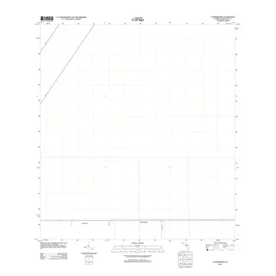
2012 Map of Coopertown
USGS Topo · Published 2012About this map
Coopertown and Frog City represent the primary points of human settlement in this specialized aquatic landscape within Miami-Dade County. Situated along a narrow corridor defined by the alignment of Highway 41, these communities are bounded by the rigid management of the Florida Everglades water systems. The map illustrates a highly engineered environment where natural sheet flow is replaced by structured canals such as L-67-A and L-67-C. The intersection of SW 24th St provides one of the few access points into the surrounding conservation areas, highlighting the delicate balance between local residence and large-scale water management infrastructure in the early 21st century.
Find a feature on this map
6 named features on this map. Tap any name to fly to it.
Don’t see what you’re looking for? This feature index may not catch every label — zoom into the map to look around manually.
Map Details
Editions of this 2012 Coopertown Map
This is the sole edition of this map. No revisions or reprints were ever made.
Other maps of this area

1949 · South Miami NW
USGS Topo · 1:24,000

1955 · South Miami NW
USGS Topo · 1:24,000

1956 · Miami
USGS Topo · 1:250,000

1958 · Miami
USGS Topo · 1:250,000

1963 · Pennsuco
USGS Topo · 1:24,000

1972 · Chekika Island
USGS Topo · 1:24,000

1972 · South Of Coopertown
USGS Topo · 1:24,000

1973 · Custard Apple Hammock
USGS Topo · 1:24,000

1973 · West Of Pennsuco
USGS Topo · 1:24,000

1973 · Long Island
USGS Topo · 1:24,000