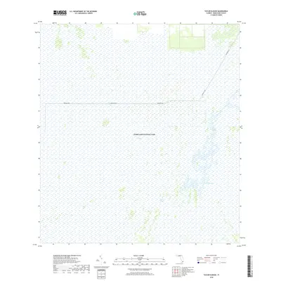
2018 Map of Taylor Slough
USGS Topo · Published 2018About this map
Everglades National Park encompasses the vast majority of this landscape, dominated by the intricate hydrology of The Everglades. The natural flow of water is most evident through the meandering course of Taylor Slough, which cuts a distinct path southward through the wetlands. This 2018 survey reveals a landscape largely devoid of modern development, preserved as a wilderness where natural drainage patterns dictate the terrain. The only significant human engineering present is the Ingraham Hwy, which provides the primary terrestrial access route through this protected ecosystem. The road's straight trajectory stands in sharp contrast to the organic, finger-like drainage channels of the slough, illustrating the thin line between infrastructure and the expansive Florida marshland.
Find a feature on this map
4 named features on this map. Tap any name to fly to it.
Don’t see what you’re looking for? This feature index may not catch every label — zoom into the map to look around manually.
Map Details
Editions of this 2018 Taylor Slough Map
This is the sole edition of this map. No revisions or reprints were ever made.
Other maps of this area
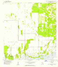
1956 · Royal Palm Ranger Station
USGS Topo · 1:24,000
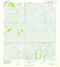
1956 · Royal Palm Ranger Station SE
USGS Topo · 1:24,000
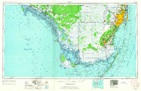
1956 · Miami
USGS Topo · 1:250,000
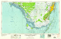
1958 · Miami
USGS Topo · 1:250,000
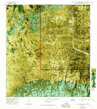
1967 · Royal Palm Ranger Station SE
USGS Topo · 1:24,000
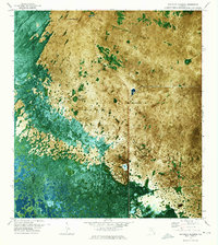
1972 · Mahogany Hammock
USGS Topo · 1:24,000
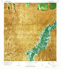
1972 · Taylor Slough
USGS Topo · 1:24,000
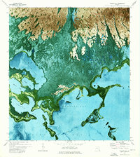
1972 · Madeira Bay
USGS Topo · 1:24,000
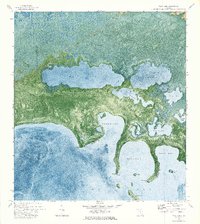
1972 · West Lake
USGS Topo · 1:24,000
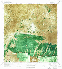
1972 · Long Pine Key
USGS Topo · 1:24,000