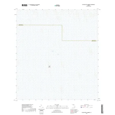
2018 Map of Custard Apple Hammock
USGS Topo · Published 2018About this map
The Everglades define this landscape within the southern interior of the Florida peninsula. This map documents a saturated wilderness where water and slightly elevated terrain features dictate the geography. The presence of Custard Apple Hammock represents one of the region's distinctive tree islands—elevated areas of hardwood forest that stand out against the surrounding marshes. The Shark River Slough, a critical drainage artery for the river of grass, moves water slowly across the terrain toward the coast. The map also delineates the jurisdictional boundary between Broward County and Miami-Dade County, showing how administrative lines were drawn through this seemingly trackless environment. The lack of roads or settlements emphasizes the preservation of the native hydrology and ecosystem within this protected corridor.
Find a feature on this map
5 named features on this map. Tap any name to fly to it.
Don’t see what you’re looking for? This feature index may not catch every label — zoom into the map to look around manually.
Map Details
Editions of this 2018 Custard Apple Hammock Map
This is the sole edition of this map. No revisions or reprints were ever made.
Other maps of this area

1956 · Miami
USGS Topo · 1:250,000

1956 · West Palm Beach
USGS Topo · 1:250,000

1957 · West Palm Beach
USGS Topo · 1:250,000

1958 · West Palm Beach
USGS Topo · 1:250,000

1958 · Miami
USGS Topo · 1:250,000

1973 · Fortymile Bend
USGS Topo · 1:24,000

1973 · Custard Apple Hammock
USGS Topo · 1:24,000

1973 · West Of Pennsuco
USGS Topo · 1:24,000

1973 · Everglades 4 SE
USGS Topo · 1:24,000

1973 · Long Island
USGS Topo · 1:24,000