
1973 Map of Fortymile Bend
USGS Topo · Published 1975About this map
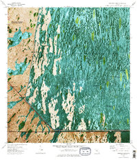
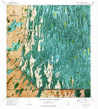
The Shark River Slough dominates this 1973 orthophotomap, showing a complex network of hammocks and camps in the heart of the Everglades. The map provides a unique record of Indigenous habitation and agriculture within the Miccosukee Indian Reservation, documenting specific family sites like Pete Osceolas Farm, Tommy Tigers Camp, and Smallpox Tommies Seminole Village. These settlements are scattered among the saw grass, often anchored by high ground such as Big Hammock or Jack Clay Hammock.
Find a feature on this map
36 named features on this map. Tap any name to fly to it.
Don’t see what you’re looking for? This feature index may not catch every label — zoom into the map to look around manually.
Map Details
Editions of this 1973 Fortymile Bend Map
3 editions found
Other maps of this area

1956 · Miami
USGS Topo · 1:250,000

1958 · Miami
USGS Topo · 1:250,000

1972 · Shark Valley Lookout Tower
USGS Topo · 1:24,000

1972 · Lostmans Trail
USGS Topo · 1:24,000

1972 · Chekika Island
USGS Topo · 1:24,000

1973 · Custard Apple Hammock
USGS Topo · 1:24,000

1973 · Fiftymile Bend
USGS Topo · 1:24,000

1973 · North Of Fiftymile Bend
USGS Topo · 1:24,000

1973 · Long Island
USGS Topo · 1:24,000
1973 · North of Fortymile Bend
USGS Topo · 1:24,000
Featured Places
- Miccosukee Indian Village, FL
- Tommy Tigers Camp, FL
- Smallpox Tommies Old Place, FL
- Fortymile Bend, FL
- Jimmie Tigers Farm, FL