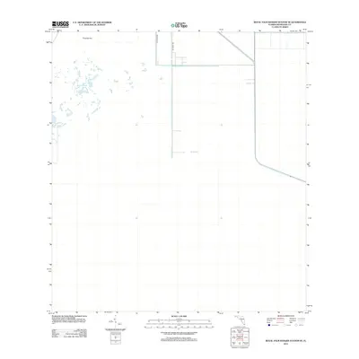
2012 Map of Royal Palm Ranger Station SE
USGS Topo · Published 2012About this map
Taylor Slough dominates the western portion of this landscape in southern Miami-Dade County, representing a critical freshwater drainage feature of the Everglades ecosystem. The area is defined by its low-lying hydrology, where the water flows toward the coast across a largely unpopulated expanse. To the north, Paradise Key stands as a notable topographic and vegetative rise amidst the surrounding wetlands. Human imprint is confined primarily to the northeastern corner of the map, where a rectilinear grid of roads including 237th Ave SW and SW 232nd Ave marks the limit of agricultural or residential encroachment into the natural slough. This 2012 survey captures the stark transition between the developed rural fringes of the Miami metropolitan area and the protected natural wetlands of the southern peninsula.
Find a feature on this map
4 named features on this map. Tap any name to fly to it.
Don’t see what you’re looking for? This feature index may not catch every label — zoom into the map to look around manually.
Map Details
Editions of this 2012 Royal Palm Ranger Station SE Map
This is the sole edition of this map. No revisions or reprints were ever made.
Other maps of this area

1947 · Blackwater Sound
USGS Topo · 1:24,000

1949 · Blackwater Sound
USGS Topo · 1:24,000

1950 · Homestead
USGS Topo · 1:24,000

1950 · Glades
USGS Topo · 1:24,000

1956 · Homestead
USGS Topo · 1:24,000

1956 · Royal Palm Ranger Station
USGS Topo · 1:24,000

1956 · Glades
USGS Topo · 1:24,000

1956 · Royal Palm Ranger Station SE
USGS Topo · 1:24,000

1956 · Miami
USGS Topo · 1:250,000

1958 · Miami
USGS Topo · 1:250,000