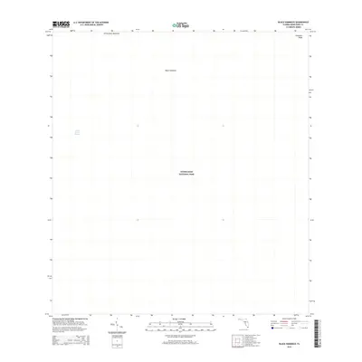
2015 Map of Black Hammock
USGS Topo · Published 2015About this map
Everglades National Park occupies the vast majority of this landscape, representing a critical preservation area of the southern Florida wetlands. The terrain is characterized by subtle elevation changes and the slow-moving waters of the Shark River Slough, which dominates the western half of the map. Higher ground is identified by specific hammocks and ridges that have long served as ecological landmarks in the sea of sawgrass. Among these are Johnny Buck Hammock in the north and the namesake Black Hammock centrally located. In the northeast, Grossman Ridge provides a distinct topographic contrast to the surrounding slough, illustrating the delicate balance of the Everglades ecosystem in Miami-Dade County during the early 21st century.
Find a feature on this map
5 named features on this map. Tap any name to fly to it.
Don’t see what you’re looking for? This feature index may not catch every label — zoom into the map to look around manually.
Map Details
Editions of this 2015 Black Hammock Map
This is the sole edition of this map. No revisions or reprints were ever made.
Other maps of this area

1956 · Grossman Hammock
USGS Topo · 1:24,000

1956 · Royal Palm Ranger Station
USGS Topo · 1:24,000

1956 · Miami
USGS Topo · 1:250,000

1958 · Miami
USGS Topo · 1:250,000

1972 · Shark Valley Lookout Tower
USGS Topo · 1:24,000

1972 · Chekika Island
USGS Topo · 1:24,000

1972 · Long Pine Key
USGS Topo · 1:24,000

1972 · Panther Mound
USGS Topo · 1:24,000

1972 · Pa Hay Okee Lookout Tower
USGS Topo · 1:24,000

1972 · South Of Coopertown
USGS Topo · 1:24,000