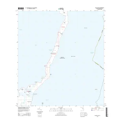
2015 Map of Elliott Key
USGS Topo · Published 2015About this map
Biscayne National Park encompasses the delicate barrier islands and reefs documented in this 2015 survey. The elongated form of Elliott Key dominates the central landscape, punctuated by local landmarks like Billys Point and Petrel Point. To the north, Sands Key is separated by Sands Cut, while the southern reaches feature a dense cluster of smaller islands including Adams Key, Porgy Key, and Old Rhodes Key.
Find a feature on this map
39 named features on this map. Tap any name to fly to it.
Don’t see what you’re looking for? This feature index may not catch every label — zoom into the map to look around manually.
Map Details
Editions of this 2015 Elliott Key Map
This is the sole edition of this map. No revisions or reprints were ever made.
Other maps of this area
1948 · Soldier Key
USGS Topo · 1:24,000
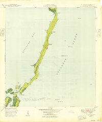
1949 · Elliott Key
USGS Topo · 1:24,000
1949 · Card Sound
USGS Topo · 1:24,000
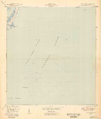
1949 · Pacific Reef
USGS Topo · 1:24,000
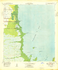
1949 · Arsenicker Keys
USGS Topo · 1:24,000
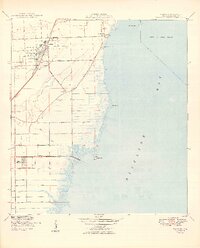
1949 · Perrine
USGS Topo · 1:24,000
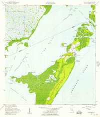
1956 · Card Sound
USGS Topo · 1:24,000
1956 · Pacific Reef
USGS Topo · 1:24,000
1956 · Elliott Key
USGS Topo · 1:24,000
1956 · Perrine
USGS Topo · 1:24,000