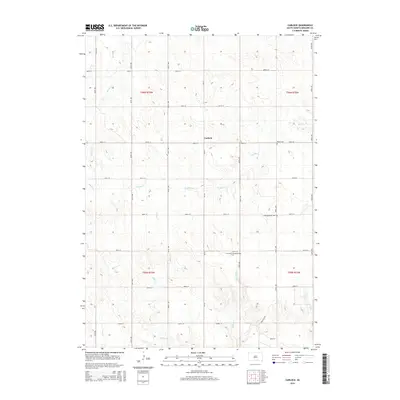
2015 Map of Carlock
USGS Topo · Published 2015About this map
Carlock serves as the central point for this agricultural landscape in Gregory County, situated along SD-251. The surrounding prairie is defined by a series of north-flowing drainages including Murphy Cr, Indian Cr, and Shingle Cr, which carve subtle valleys through the high plains. The settlement pattern remains oriented toward the Public Land Survey System, with a rigid grid of rural roads like 300th St and 338th Ave providing access to isolated farmsteads.
Find a feature on this map
32 named features on this map. Tap any name to fly to it.
Don’t see what you’re looking for? This feature index may not catch every label — zoom into the map to look around manually.
Map Details
Editions of this 2015 Carlock Map
This is the sole edition of this map. No revisions or reprints were ever made.
Other maps of this area

1955 · Mitchell
USGS Topo · 1:250,000

1955 · O'Neill
USGS Topo · 1:250,000

1959 · O'Neill
USGS Topo · 1:250,000

1959 · Mitchell
USGS Topo · 1:250,000

1964 · Gregory SE
USGS Topo · 1:24,000

1964 · Mills
USGS Topo · 1:24,000

1964 · Gregory
USGS Topo · 1:24,000

1964 · Dallas
USGS Topo · 1:24,000

1964 · Paxton
USGS Topo · 1:24,000
1964 · Burton
USGS Topo · 1:24,000