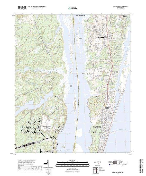
2022 Map of Carolina Beach
USGS Topo · Published 2022About this map
Pleasure Island serves as the focal point for this coastal survey, where the Atlantic Ocean meets the intricate marshlands and sound systems of New Hanover and Brunswick counties. The geography is defined by the man-made passage of Snows Cut, which connects the Cape Fear River to the Myrtle Grove Sound. This engineering feat physically separates the northern peninsula from the beach communities to the south, creating a distinct island environment that includes Carolina Beach and Wilmington Beach.
Find a feature on this map
202 named features on this map. Tap any name to fly to it.
Don’t see what you’re looking for? This feature index may not catch every label — zoom into the map to look around manually.
Map Details
Editions of this 2022 Carolina Beach Map
This is the sole edition of this map. No revisions or reprints were ever made.
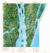
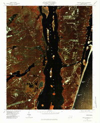
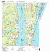
Historical Maps of Kendall Chapel Through Time
4 maps found