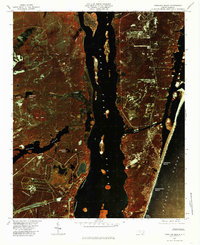
1980 Map of Carolina Beach
USGS Topo · Published 1985About this map
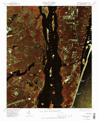
The Cape Fear River and its western banks define this coastal corridor as it appeared in the early 1980s. This color infrared orthophotograph highlights the contrast between the dense vegetation surrounding Orton Pond and Big Bay and the growing residential footprints of Carolina Beach and Kure Beach. The engineering of Snows Cut is clearly visible, connecting the river to the Intracoastal Waterway and the Atlantic Ocean.
Find a feature on this map
17 named features on this map. Tap any name to fly to it.
Don’t see what you’re looking for? This feature index may not catch every label — zoom into the map to look around manually.
Map Details
Editions of this 1980 Carolina Beach Map
2 editions found
Other maps of this area

1942 · Wilmington
USGS Topo · 1:62,500

1943 · Funston
USGS Topo · 1:24,000

1943 · Winnabow
USGS Topo · 1:24,000

1944 · Winnabow
USGS Topo · 1:31,680

1946 · Southport
USGS Topo · 1:24,000

1946 · Snow Marsh
USGS Topo · 1:24,000

1948 · Wilmington
USGS Topo · 1:62,500

1949 · Georgetown
USGS Topo · 1:250,000

1950 · Winnabow
USGS Topo · 1:25,000

1953 · Florence
USGS Topo · 1:250,000