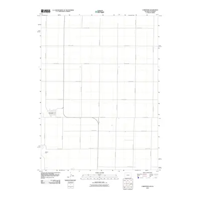
2010 Map of Carpenter
USGS Topo · Published 2010About this map
The small unincorporated community of Carpenter sits at the heart of this Laramie County landscape, defined by a strict grid of rural roads and the drainage of Crow Creek. This 2010 survey illustrates the organized land use of the High Plains, where the town site is surrounded by a network of local routes including Poelma Rd and a sequence of numbered county roads. The terrain is relatively flat, broken primarily by the creek bed and the Mackley Dam structure to the southwest. This map is particularly useful for identifying the precise layout of 21st-century property boundaries and access roads that stitch together the agricultural tracts of the Wyoming-Colorado border region.
Find a feature on this map
19 named features on this map. Tap any name to fly to it.
Don’t see what you’re looking for? This feature index may not catch every label — zoom into the map to look around manually.
Map Details
Editions of this 2010 Carpenter Map
This is the sole edition of this map. No revisions or reprints were ever made.
Other maps of this area

1954 · Cheyenne
USGS Topo · 1:250,000

1954 · Greeley
USGS Topo · 1:250,000

1957 · Greeley
USGS Topo · 1:250,000

1958 · Cheyenne
USGS Topo · 1:250,000

1958 · Greeley
USGS Topo · 1:250,000

1961 · Greeley
USGS Topo · 1:250,000

1963 · Arcola
USGS Topo · 1:24,000

1963 · Burns
USGS Topo · 1:24,000

1963 · Carpenter
USGS Topo · 1:24,000

1963 · Pine Bluffs SW
USGS Topo · 1:24,000