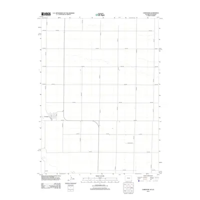
2012 Map of Carpenter
USGS Topo · Published 2012About this map
Carpenter stands as the primary settlement on this high-plains landscape, situated along the banks of Crow Cr near the border of Wyoming and Colorado. The map reveals a highly structured grid of section lines and rural roads that organize the agricultural terrain, where family-named routes like Poelma Rd and Younglund Rd suggest a history of deep-rooted land ownership and local ranching heritage. The small town center is defined by a cluster of streets including 1st St and 5th St, serving as a concentrated hub amidst the expansive stretches of the Laramie County plains. A extensive network of county roads, such as Co Rd-148 and Co Rd-154, provides the vital connective tissue between isolated homesteads and the sparse water resources of the region.
Find a feature on this map
22 named features on this map. Tap any name to fly to it.
Don’t see what you’re looking for? This feature index may not catch every label — zoom into the map to look around manually.
Map Details
Editions of this 2012 Carpenter Map
This is the sole edition of this map. No revisions or reprints were ever made.
Other maps of this area

1954 · Cheyenne
USGS Topo · 1:250,000

1954 · Greeley
USGS Topo · 1:250,000

1957 · Greeley
USGS Topo · 1:250,000

1958 · Cheyenne
USGS Topo · 1:250,000

1958 · Greeley
USGS Topo · 1:250,000

1961 · Greeley
USGS Topo · 1:250,000

1963 · Arcola
USGS Topo · 1:24,000

1963 · Burns
USGS Topo · 1:24,000

1963 · Carpenter
USGS Topo · 1:24,000

1963 · Pine Bluffs SW
USGS Topo · 1:24,000