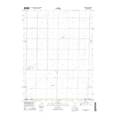
2015 Map of Carpenter
USGS Topo · Published 2015About this map
Carpenter sits at the heart of this high plains landscape, just north of the Wyoming-Colorado border. This survey details a transition from the agricultural grid of Laramie and Weld counties into the water-carved geography of Crow Creek. The settlement of Carpenter shows a small-town layout centered near 5th St, while the surrounding terrain is defined by a dense network of section-line roads like Co Road 202 and Co Road 148. Water management is a critical feature of this arid environment, evidenced by the presence of Mockley Reservoir in the southwest. The map documents the enduring public land survey system through its township and range lines, illustrating the intersection of state-line boundaries with local transportation routes like Wy-214.
Find a feature on this map
30 named features on this map. Tap any name to fly to it.
Don’t see what you’re looking for? This feature index may not catch every label — zoom into the map to look around manually.
Map Details
Editions of this 2015 Carpenter Map
This is the sole edition of this map. No revisions or reprints were ever made.
Other maps of this area

1954 · Cheyenne
USGS Topo · 1:250,000

1954 · Greeley
USGS Topo · 1:250,000

1957 · Greeley
USGS Topo · 1:250,000

1958 · Cheyenne
USGS Topo · 1:250,000

1958 · Greeley
USGS Topo · 1:250,000

1961 · Greeley
USGS Topo · 1:250,000

1963 · Arcola
USGS Topo · 1:24,000

1963 · Burns
USGS Topo · 1:24,000

1963 · Carpenter
USGS Topo · 1:24,000

1963 · Pine Bluffs SW
USGS Topo · 1:24,000