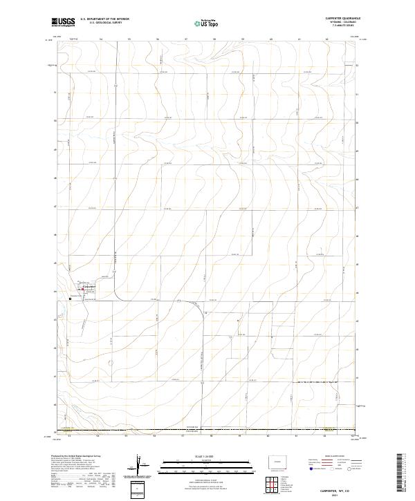
2021 Map of Carpenter
USGS Topo · Published 2021About this map
The settlement of Carpenter sits at the heart of this agricultural landscape in southeastern Wyoming, positioned just north of the Wyoming Colorado state line. This 2021 survey shows a geometric grid of rural routes, including Carpenter Rd and Chalk Bluff Rd, which facilitate movement between the vast sections of the High Plains. Local history is anchored by the Carpenter Cem and a central Po located near the intersection of Main Ave and Monroe Ave. The terrain is characterized by subtle elevation changes and the passage of Crow Cr through the southern portion of the quadrangle. Bordering Laramie County and Weld County, the map documents the modern infrastructure of this ranching and farming community, where named thoroughfares like Claytons Rd and Soppe Rd define the local property boundaries and access points.
Find a feature on this map
37 named features on this map. Tap any name to fly to it.
Don’t see what you’re looking for? This feature index may not catch every label — zoom into the map to look around manually.
Map Details
Editions of this 2021 Carpenter Map
This is the sole edition of this map. No revisions or reprints were ever made.
Other maps of this area

1954 · Cheyenne
USGS Topo · 1:250,000

1954 · Greeley
USGS Topo · 1:250,000

1957 · Greeley
USGS Topo · 1:250,000

1958 · Cheyenne
USGS Topo · 1:250,000

1958 · Greeley
USGS Topo · 1:250,000

1961 · Greeley
USGS Topo · 1:250,000

1963 · Arcola
USGS Topo · 1:24,000

1963 · Burns
USGS Topo · 1:24,000

1963 · Carpenter
USGS Topo · 1:24,000

1963 · Pine Bluffs SW
USGS Topo · 1:24,000