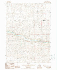
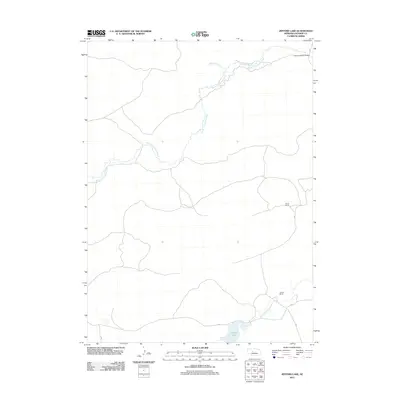
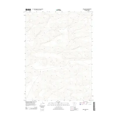
1948 Map of Carr Lake
USGS Topo · Published 1978About this map
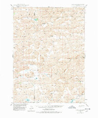
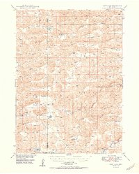
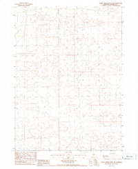
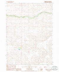
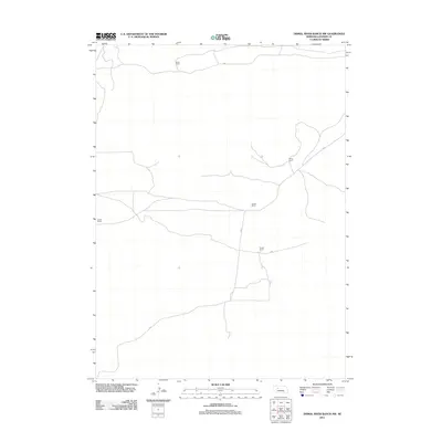
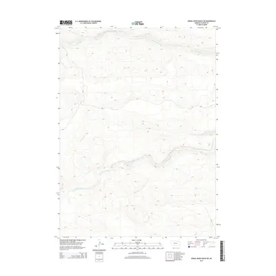
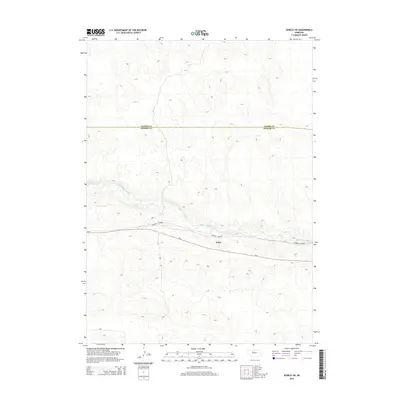
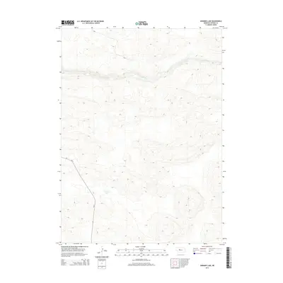
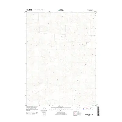
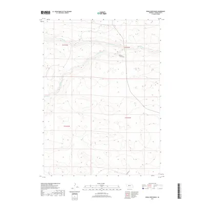
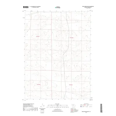
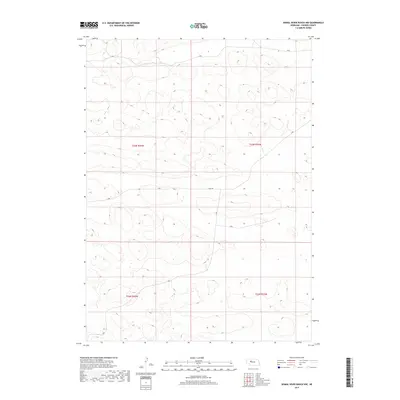
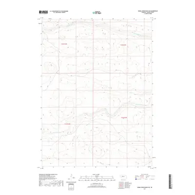
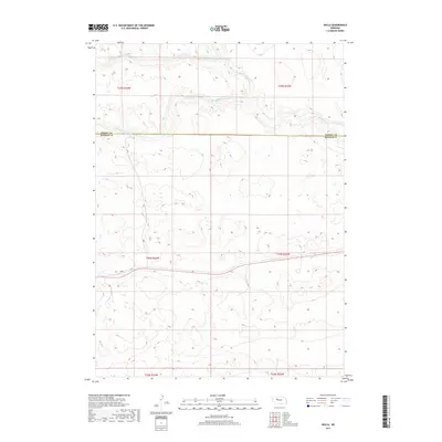
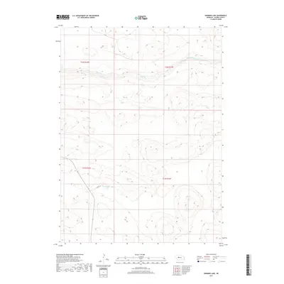
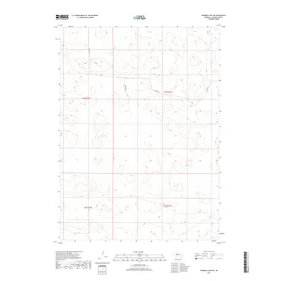
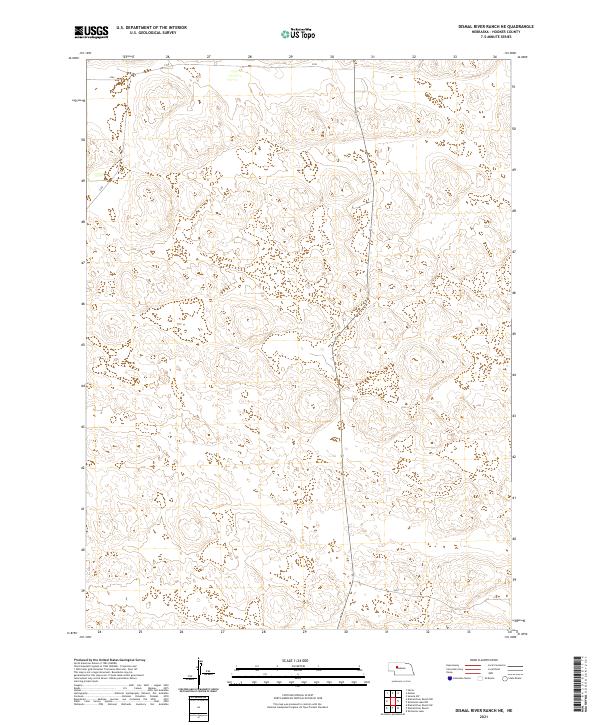
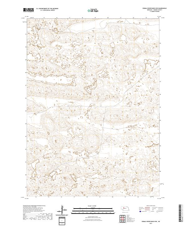
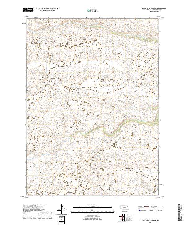
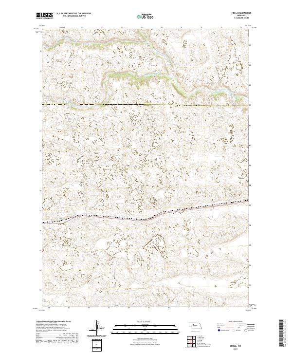
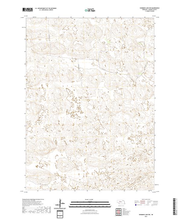
Carr Ranch and several other family-named cattle operations define the mid-century landscape of the Nebraska Sandhills across the boundary of Grant and Hooker counties. This 1948 survey reveals a sparse, water-dependent settlement pattern where ranch life centers on scattered lakes and the drainage of the Dismal River. Remote community infrastructure is visible through small, isolated institutions like Eclipse Ch and Erny Sch, which served the vast agricultural tracts. The terrain is marked by numerous natural basins, including Carr Lake, Rosebud Lake, and Haney Lake, as well as several artesian features noted as Flowing Well. The orientation of ranch houses such as Riemer Ranch and Gragg Ranch along the North Fork Dismal River underscores the critical importance of riparian access in this high plains environment.
Find a feature on this map
22 named features on this map. Tap any name to fly to it.
Don’t see what you’re looking for? This feature index may not catch every label — zoom into the map to look around manually.
Map Details
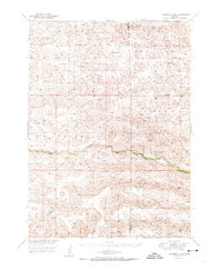
Editions of this 1948 Carr Lake Map
2 editions found
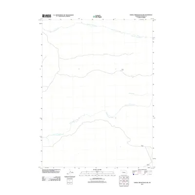
Historical Maps of Hooker County Through Time
60 maps found
1947 Dismal River Ranch
Hooker County, NE
1948 Carr Lake
Hooker County, NE
1949 Dismal River Ranch
Hooker County, NE
1950 Carr Lake
Hooker County, NE
1950 Shimmins Lake
Hooker County, NE
1985 Carr Lake NE
Hooker County, NE
1985 Dismal River Ranch
Hooker County, NE
1985 Dismal River Ranch NE
Hooker County, NE
1985 Dismal River Ranch NW
Hooker County, NE
1985 Dismal River Ranch SW
Hooker County, NE
1985 Jefford Lake
Hooker County, NE
1985 Shimmins Lake
Hooker County, NE
1985 Shimmins Lake NW
Hooker County, NE
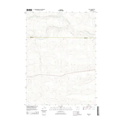
1987 Hecla
Hooker County, NE
1987 Hire SE
Hooker County, NE
1988 Seneca SW
Hooker County, NE
2011 Carr Lake NE
Hooker County, NE
2011 Dismal River Ranch
Hooker County, NE
2011 Dismal River Ranch NE
Hooker County, NE
2011 Dismal River Ranch NW
Hooker County, NE
2011 Dismal River Ranch SW
Hooker County, NE
2011 Hecla
Hooker County, NE
2011 Hire SE
Hooker County, NE
2011 Jefford Lake
Hooker County, NE
2011 Seneca SW
Hooker County, NE
2011 Shimmins Lake
Hooker County, NE
2011 Shimmins Lake NW
Hooker County, NE
2014 Carr Lake NE
Hooker County, NE
2014 Dismal River Ranch
Hooker County, NE
2014 Dismal River Ranch NE
Hooker County, NE
2014 Dismal River Ranch NW
Hooker County, NE
2014 Dismal River Ranch SW
Hooker County, NE
2014 Hecla
Hooker County, NE
2014 Hire SE
Hooker County, NE
2014 Jefford Lake
Hooker County, NE
2014 Seneca SW
Hooker County, NE
2014 Shimmins Lake
Hooker County, NE
2014 Shimmins Lake NW
Hooker County, NE
2017 Carr Lake NE
Hooker County, NE
2017 Dismal River Ranch
Hooker County, NE
2017 Dismal River Ranch NE
Hooker County, NE
2017 Dismal River Ranch NW
Hooker County, NE
2017 Dismal River Ranch SW
Hooker County, NE
2017 Hecla
Hooker County, NE
2017 Hire SE
Hooker County, NE
2017 Jefford Lake
Hooker County, NE
2017 Seneca SW
Hooker County, NE
2017 Shimmins Lake
Hooker County, NE
2017 Shimmins Lake NW
Hooker County, NE
2021 Carr Lake NE
Hooker County, NE
2021 Dismal River Ranch
Hooker County, NE
2021 Dismal River Ranch NE
Hooker County, NE
2021 Dismal River Ranch NW
Hooker County, NE
2021 Dismal River Ranch SW
Hooker County, NE
2021 Hecla
Hooker County, NE
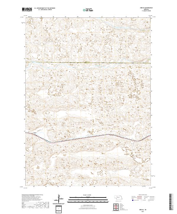
2021 Hire SE
Hooker County, NE
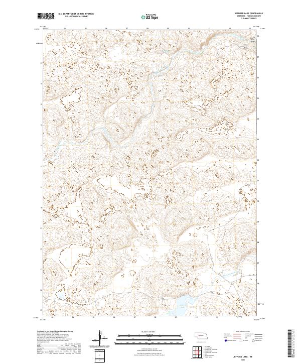
2021 Jefford Lake
Hooker County, NE
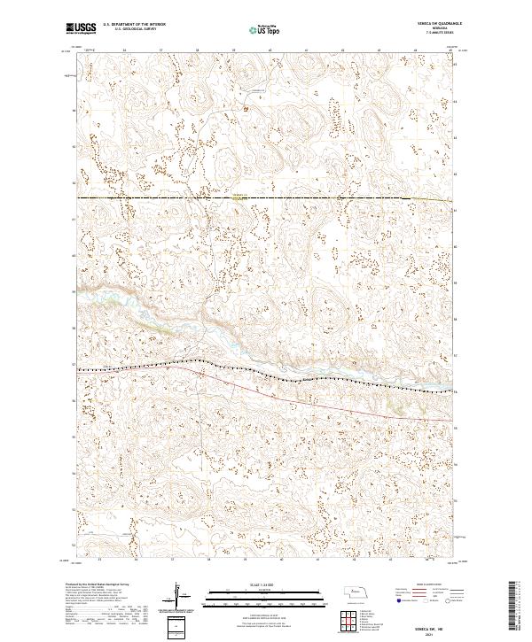
2021 Seneca SW
Hooker County, NE
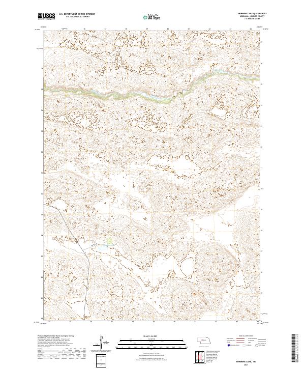
2021 Shimmins Lake
Hooker County, NE
2021 Shimmins Lake NW
Hooker County, NE