2023 Map of Carroll
USGS Topo · Published 2023About this map
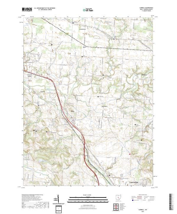
Carroll serves as a central hub in this modern topographic landscape, where the paths of Walnut Creek and the Hocking River define the local drainage patterns. The area is characterized by a high density of ancestral burial grounds, including the Fairchild Cem, Brandt Middletown Cem, and Bickel Cem, which offer significant value for genealogical research. The transition from rural crossroad communities like Stoudertown and Havensport to more established centers like Baltimore reflects the historical development of Fairfield County. Transportation infrastructure is anchored by the Fairfield County Airport and the distinct corridor of Lockville Station, while water management is highlighted by the Hunters Run Conservation District Structure Reservoir. Small bodies of water such as McGill Pond, Morse Pond, and Greenfield Lake are scattered across the terrain, punctuating the agricultural and residential plots that comprise this portion of the Ohio interior.
Find a feature on this map
114 named features on this map. Tap any name to fly to it.
Don’t see what you’re looking for? This feature index may not catch every label — zoom into the map to look around manually.
Map Details
Editions of this 2023 Carroll Map
This is the sole edition of this map. No revisions or reprints were ever made.
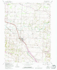
Historical Maps of Greenfield Township Through Time
Featured Locations
- Lancaster, OH
- Liberty Township, OH
- Baltimore, Liberty Township
- Pickerington, Violet Township
- Carroll, Greenfield Township