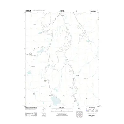
2012 Map of Carson Pass
USGS Topo · Published 2012About this map
Hope Valley and Faith Valley define the high-altitude landscape of this 2012 survey, where the W Fork Carson River carves through the Sierra Nevada. The terrain is marked by significant peaks and passes, including the historic Carson Pass and its associated Carson Pass Scenic Viewpoint, serving as a critical transit point through the range. High-mountain hydrology is prominent, with Upper Blue Lake, Winnemucca Lake, and Crater Lake scattered among the ridges.
Find a feature on this map
43 named features on this map. Tap any name to fly to it.
Don’t see what you’re looking for? This feature index may not catch every label — zoom into the map to look around manually.
Map Details
Editions of this 2012 Carson Pass Map
This is the sole edition of this map. No revisions or reprints were ever made.
Other maps of this area

1889 · Pyramid Peak
USGS Topo · 1:125,000

1889 · Markleeville
USGS Topo · 1:125,000

1891 · Markleeville
USGS Topo · 1:125,000

1891 · Pyramid Peak
USGS Topo · 1:125,000

1893 · Markleeville
USGS Topo · 1:125,000

1895 · Pyramid Peak
USGS Topo · 1:125,000

1896 · Pyramid Peak
USGS Topo · 1:125,000

1947 · Sacramento
USGS Topo · 1:250,000

1948 · Walker Lake
USGS Topo · 1:250,000

1948 · Sacramento
USGS Topo · 1:250,000