1946 Map of Caruthers
USGS Topo · Published 1959About this map
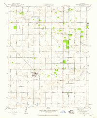
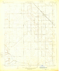
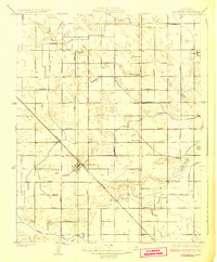
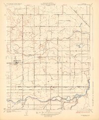
The agricultural grid of Fresno County is clearly defined on this 1946 revision, centered on the community of Caruthers. This landscape is characterized by its organized water management system, vital for the region's productivity, featuring the Wristen Canal, Smith Ditch, and Liberty Ditch. These waterways parallel a geometric network of roads like Manning Avenue and Dinuba Avenue, which serve as the lifelines for the scattered farmsteads and rural educational centers of the era.
Find a feature on this map
33 named features on this map. Tap any name to fly to it.
Don’t see what you’re looking for? This feature index may not catch every label — zoom into the map to look around manually.
Map Details
Editions of this 1946 Caruthers Map
This is the sole edition of this map. No revisions or reprints were ever made.
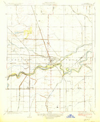
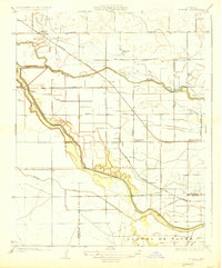
Other maps of this area

1923 · Kearney Park
USGS Topo · 1:31,680

1923 · Malaga
USGS Topo · 1:31,680
1923 · Fresno
USGS Topo · 1:31,680
1924 · Riverdale
USGS Topo · 1:31,680
1924 · Conejo
USGS Topo · 1:31,680
1925 · Raisin
USGS Topo · 1:31,680
1925 · Caruthers
USGS Topo · 1:31,680
1927 · Laton
USGS Topo · 1:31,680
1927 · Burrel
USGS Topo · 1:31,680
1927 · Riverdale
USGS Topo · 1:31,680