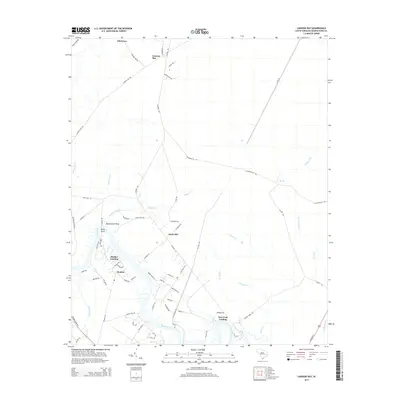
2014 Map of Carvers Bay
USGS Topo · Published 2014About this map
Post Foot Landing and Dunbar Landing sit along the winding Black River, serving as focal points for this coastal South Carolina landscape. The river system, including Black Swamp and tributaries like Choppee Creek and Guinea Creek, dominates the geography, dictating the placement of settlements and roads. The inland area transitions from the riverbanks into the depressions of Carvers Bay to the north.
Find a feature on this map
76 named features on this map. Tap any name to fly to it.
Don’t see what you’re looking for? This feature index may not catch every label — zoom into the map to look around manually.
Map Details
Editions of this 2014 Carvers Bay Map
This is the sole edition of this map. No revisions or reprints were ever made.
Other maps of this area

1942 · Waverly Mills
USGS Topo · 1:24,000

1943 · Olin
USGS Topo · 1:31,680

1943 · Yauhannah
USGS Topo · 1:24,000

1943 · Henry
USGS Topo · 1:24,000

1943 · Carvers Bay
USGS Topo · 1:24,000

1943 · Plantersville
USGS Topo · 1:24,000

1943 · Rhems
USGS Topo · 1:24,000

1943 · Georgetown North
USGS Topo · 1:24,000

1943 · Outland
USGS Topo · 1:24,000

1944 · Outland
USGS Topo · 1:31,680