
1943 Map of Georgetown North
USGS Topo · Published 1962About this map
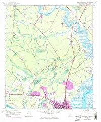
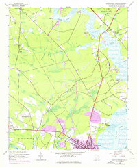
Georgetown serves as the focal point for this wartime survey of the South Carolina coast, where the convergence of the Black River, Pee Dee River, and Waccamaw River defines the landscape. The map reveals an agrarian society deeply rooted in its colonial past, evidenced by numerous named estates such as Lark Hill Plantation, Mansfield Plantation, and Kensington Plantation lining the riverbanks. Modern infrastructure of the 1940s is represented by the Seaboard Air Line Railroad and the County Airport, while the US Army Reservation occupies the northeastern corner. Local community life is documented through landmarks like Johnson Chapel, Graves Station Sch, and the County Prison Camp. This record illustrates the transition of the Lowcountry from a traditional plantation-based economy toward twentieth-century industrial and military utility.
Find a feature on this map
46 named features on this map. Tap any name to fly to it.
Don’t see what you’re looking for? This feature index may not catch every label — zoom into the map to look around manually.
Map Details
Editions of this 1943 Georgetown North Map
3 editions found
Other maps of this area

1942 · North Island
USGS Topo · 1:24,000

1942 · Waverly Mills
USGS Topo · 1:24,000

1943 · Olin
USGS Topo · 1:31,680

1943 · Carvers Bay
USGS Topo · 1:24,000

1943 · Plantersville
USGS Topo · 1:24,000

1943 · Kilsock Bay
USGS Topo · 1:24,000

1943 · Rhems
USGS Topo · 1:24,000

1943 · Georgetown South
USGS Topo · 1:24,000

1947 · Georgetown South
USGS Topo · 1:24,000

1949 · Georgetown
USGS Topo · 1:250,000