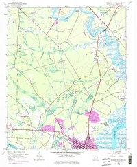
1943 Map of Georgetown North
USGS Topo · Published 1976About this map
Lark Hill Plantation and Springwood Plantation line the winding course of the Black River in this coastal South Carolina landscape, reflecting an era defined by river-based agriculture and sprawling landholdings. To the south, the city of Georgetown serves as the focal point where the Pee Dee River and Waccamaw River converge. The interior is marked by a network of drainage features like Sixmile Creek and Greens Creek, with small rural communities such as Oatland and Graves connected by the Seaboard Coast Line railroad.
Find a feature on this map
49 named features on this map. Tap any name to fly to it.
Don’t see what you’re looking for? This feature index may not catch every label — zoom into the map to look around manually.
Map Details
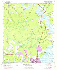
Editions of this 1943 Georgetown North Map
3 editions found
Other maps of this area

1942 · North Island
USGS Topo · 1:24,000

1942 · Waverly Mills
USGS Topo · 1:24,000

1943 · Olin
USGS Topo · 1:31,680

1943 · Carvers Bay
USGS Topo · 1:24,000

1943 · Plantersville
USGS Topo · 1:24,000

1943 · Kilsock Bay
USGS Topo · 1:24,000

1943 · Rhems
USGS Topo · 1:24,000

1943 · Georgetown North
USGS Topo · 1:24,000

1943 · Georgetown South
USGS Topo · 1:24,000

1947 · Georgetown South
USGS Topo · 1:24,000