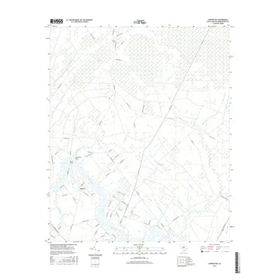
2017 Map of Carvers Bay
USGS Topo · Published 2017About this map
The Black River dominates this landscape in Georgetown County, snaking through a complex network of wetlands and tributaries. The riverine environment is defined by its numerous branches and creeks, including Choppee Creek, Lanes Creek, and Peters Creek. Settlement is concentrated along the terrace above the floodplain, notably at Dunbar and near the river bends at Belleflower Point and Rocky Point.
Find a feature on this map
77 named features on this map. Tap any name to fly to it.
Don’t see what you’re looking for? This feature index may not catch every label — zoom into the map to look around manually.
Map Details
Editions of this 2017 Carvers Bay Map
This is the sole edition of this map. No revisions or reprints were ever made.
Other maps of this area

1942 · Waverly Mills
USGS Topo · 1:24,000

1943 · Olin
USGS Topo · 1:31,680

1943 · Yauhannah
USGS Topo · 1:24,000

1943 · Henry
USGS Topo · 1:24,000

1943 · Carvers Bay
USGS Topo · 1:24,000

1943 · Plantersville
USGS Topo · 1:24,000

1943 · Rhems
USGS Topo · 1:24,000

1943 · Georgetown North
USGS Topo · 1:24,000

1943 · Outland
USGS Topo · 1:24,000

1944 · Outland
USGS Topo · 1:31,680