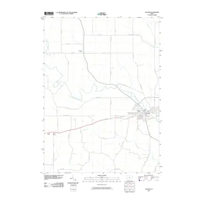
2022 Map of Cascade
USGS Topo · Published 2022About this map
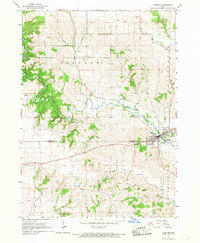
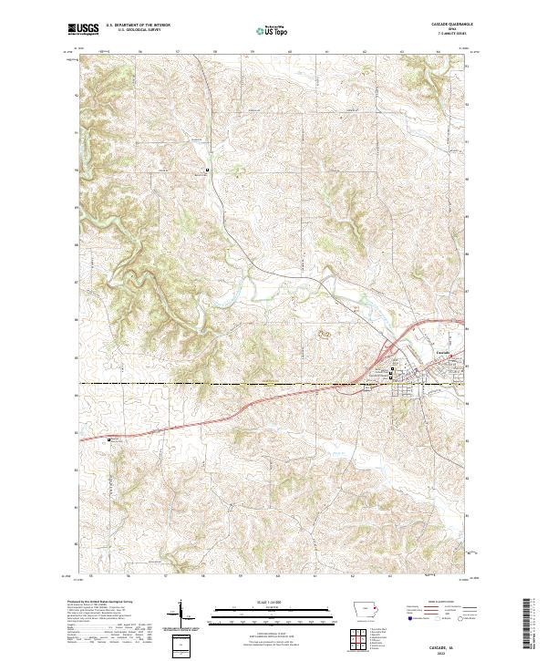
The North Fork Maquoketa River winds through the heart of Cascade, a community straddling the line between Dubuque and Jones counties. This area is defined by its deep-rooted social and religious geography, evidenced by a concentration of cemeteries including Saint Martins Catholic Cem, Cascade Protestant Cem, and Saint Marys Cem. These sites, along with Zion Reform Cem further north, provide critical points of interest for genealogists tracing local family histories. The surrounding terrain is dissected by numerous waterways such as Farm Cr, Tibetts Cr, and Johns Cr, which drain into the main river valley.
Find a feature on this map
61 named features on this map. Tap any name to fly to it.
Don’t see what you’re looking for? This feature index may not catch every label — zoom into the map to look around manually.
Map Details
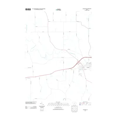
Editions of this 2022 Cascade Map
This is the sole edition of this map. No revisions or reprints were ever made.
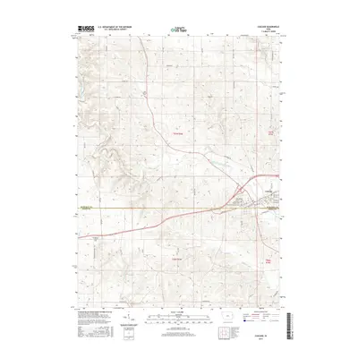
Historical Maps of Cascade Through Time
6 maps found