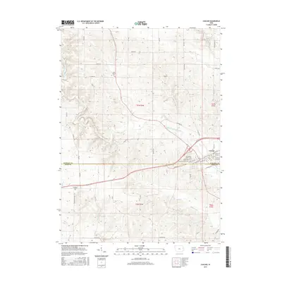
2015 Map of Cascade
USGS Topo · Published 2015About this map
Cascade sits at the intersection of the Dubuque Co Jones Co line, where the North Fork Maquoketa River winds through the landscape. This region of Iowa is defined by its agricultural roots and deep-seated religious heritage, evidenced by the clustered institutions in town such as Saint Martins Catholic Ch and Saint Marys Catholic Ch. The town's layout follows the river's path, with street names like 1st Ave E and Riverview Rd marking the transition from urban center to the surrounding farmland.
Find a feature on this map
54 named features on this map. Tap any name to fly to it.
Don’t see what you’re looking for? This feature index may not catch every label — zoom into the map to look around manually.
Map Details
Editions of this 2015 Cascade Map
This is the sole edition of this map. No revisions or reprints were ever made.
Other maps of this area

1891 · Monticello
USGS Topo · 1:62,500

1891 · Baldwin
USGS Topo · 1:62,500

1900 · Anamosa
USGS Topo · 1:125,000

1901 · Peosta
USGS Topo · 1:125,000

1959 · Dubuque
USGS Topo · 1:250,000

1961 · Dubuque
USGS Topo · 1:250,000

1962 · Dubuque
USGS Topo · 1:250,000
1965 · Dyersville West
USGS Topo · 1:24,000
1965 · Dyersville East
USGS Topo · 1:24,000
1966 · Fillmore
USGS Topo · 1:24,000