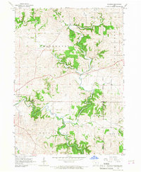
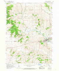
1966 Map of Fillmore
USGS Topo · Published 1967About this map
The North Fork Maquoketa River carves a deep, winding path through the southern half of this mid-1960s landscape, meeting the jagged boundaries of Dubuque, Jones, and Jackson counties. The small settlement of Fillmore sits at a crossing of Whitewater Creek, serving as a focal point near the Fillmore Recreation Area. Further west, the town of Cascade straddles the county line, showing its 1960s footprint along the riverbanks. The terrain is defined by a dense network of drainage, including Prairie Creek, Canyon Creek, and Johns Creek, which create a complex system of ridges and valleys typical of the region's topography. Evidence of local industry appears at a Quarry situated along a bend in the creek, while the presence of the Fifth Principal Meridian provides a primary reference for the surrounding township grid of Whitewater, Washington, and Butler.
Find a feature on this map
20 named features on this map. Tap any name to fly to it.
Don’t see what you’re looking for? This feature index may not catch every label — zoom into the map to look around manually.
Map Details
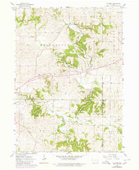
Editions of this 1966 Fillmore Map
2 editions found
Other maps of this area

1891 · Monticello
USGS Topo · 1:62,500

1891 · Baldwin
USGS Topo · 1:62,500

1900 · Anamosa
USGS Topo · 1:125,000

1901 · Peosta
USGS Topo · 1:125,000

1959 · Dubuque
USGS Topo · 1:250,000

1961 · Dubuque
USGS Topo · 1:250,000

1962 · Dubuque
USGS Topo · 1:250,000
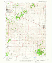
1965 · Dyersville East
USGS Topo · 1:24,000
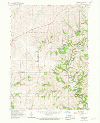
1966 · Bernard
USGS Topo · 1:24,000
1966 · Cascade
USGS Topo · 1:24,000