2023 Map of Casnovia
USGS Topo · Published 2023About this map
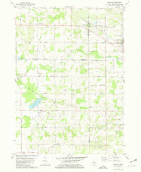
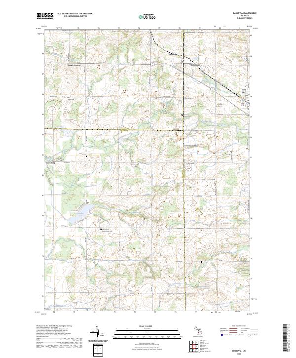
The village of Casnovia sits at a geographic crossroads where Muskegon and Kent counties meet, anchoring a landscape shaped by rural townships and agricultural networks. In the modern era, this area remains defined by its cluster of small settlements including Kent City to the east and Canada Corners to the northwest. The terrain is marked by a high density of local heritage sites, particularly nineteenth-century cemeteries such as South Casnovia Cem and Lisbon Cem, which trace the lineage of early families along the county lines.
Find a feature on this map
52 named features on this map. Tap any name to fly to it.
Don’t see what you’re looking for? This feature index may not catch every label — zoom into the map to look around manually.
Map Details
Editions of this 2023 Casnovia Map
This is the sole edition of this map. No revisions or reprints were ever made.