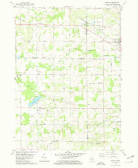
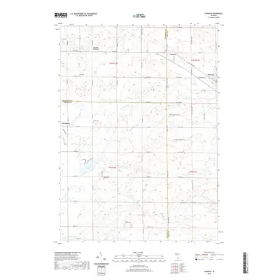
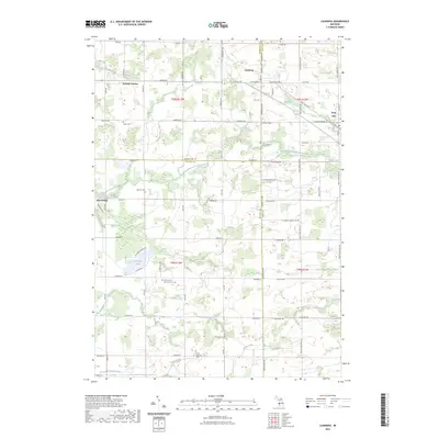
1980 Map of Casnovia
USGS Topo · Published 1981About this map
Casnovia and Kent City anchor this landscape along the border of Kent, Muskegon, and Ottawa counties, where the industrial influence of the Chesapeake and Ohio railroad meets a deeply rooted agricultural interior. The map illustrates a developed township grid defined by numbered thoroughfares like Eighteenmile Road and Twelvemile Road, connecting smaller communities such as Canada Corners and Lisbon. Rural life is centered around local institutions, including the St Francis Xavier Ch and North Chester Ch, while the Schaefer Orchards Landing Strip highlights the intersection of aviation and the region's fruit-growing heritage.
Find a feature on this map
57 named features on this map. Tap any name to fly to it.
Don’t see what you’re looking for? This feature index may not catch every label — zoom into the map to look around manually.
Map Details
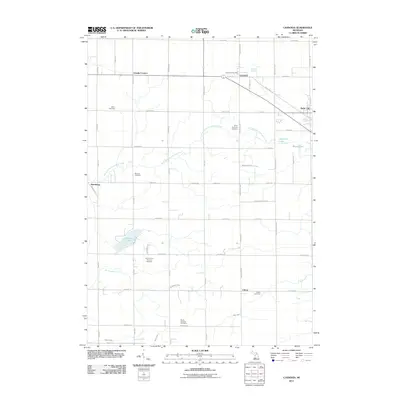
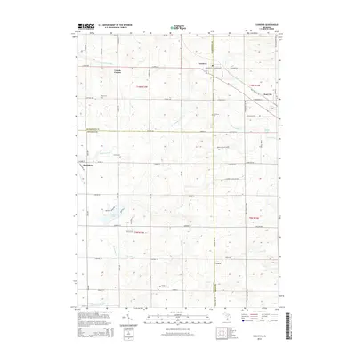
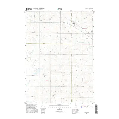
Editions of this 1980 Casnovia Map
This is the sole edition of this map. No revisions or reprints were ever made.
Historical Maps of Casnovia Through Time
6 maps found
Featured Locations
- Casnovia, MI
- Sparta Township, MI
- Chester Township, MI
- Canada Corners, Casnovia Township
- Kent City, Tyrone Township