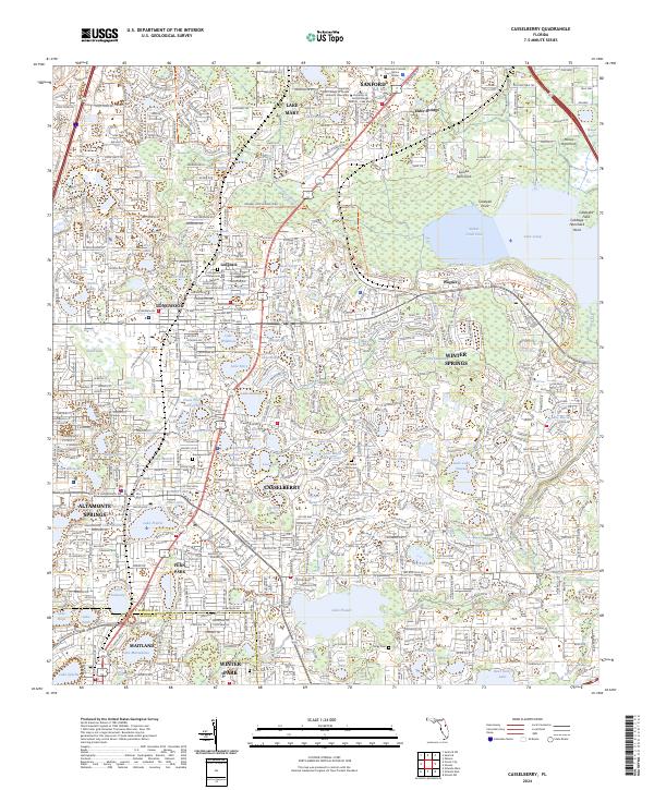
2024 Map of Casselberry
USGS Topo · Published 2024About this map
Casselberry and Winter Springs form a dense suburban landscape north of Orlando, characterized by a complex network of residential subdivisions and small glacial-style lakes. The area is defined by its numerous named water bodies, ranging from the expansive Lake Jesup in the northeast to smaller pools like Lake Fairy and Lake Kathryn. The Florida Central Pkwy and major thoroughfares cut through established neighborhoods like Longdale and Wagner, illustrating the modern transit-oriented development of Seminole County. In the quieter corners, local history is preserved at sites like All Faiths Memorial Park and the Clergy Cem. The northeast quadrant remains less developed, showing the transition from suburban blocks to the wetlands of Soldier Creek Cove and the unique terrain of Gee Hammock.
Find a feature on this map
87 named features on this map. Tap any name to fly to it.
Don’t see what you’re looking for? This feature index may not catch every label — zoom into the map to look around manually.
Map Details
Editions of this 2024 Casselberry Map
This is the sole edition of this map. No revisions or reprints were ever made.
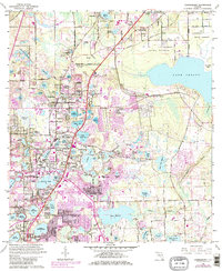
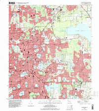
Historical Maps of Elder Springs Through Time
3 maps found