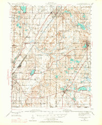
1945 Map of Cassopolis
USGS Topo · Published 1979About this map
The Dowagiac River and the tracks of the New York Central railroad anchor this mid-century look at Cass County. The landscape is dense with small-scale rural infrastructure, from the Crystal Springs Camp Ground near Summerville to the Infirmary on the outskirts of Cassopolis. The distribution of dozens of one-room schoolhouses, such as Hardscrabble Sch, Peavine Sch, and Yankee Street Sch, illustrates the educational network of Southwest Michigan before the era of district consolidation. Near the Indiana state line, the settlements of Edwardsburg and Adamsville sit among a complex glacial lake system including Barron Lake and Eagle Lake. This mapping captures the region's agricultural peak, where family-named landmarks like Salisbury Sch and Rosewarne Sch reflect a deeply settled community landscape still visible before post-war suburban shifts.
Find a feature on this map
89 named features on this map. Tap any name to fly to it.
Don’t see what you’re looking for? This feature index may not catch every label — zoom into the map to look around manually.
Map Details
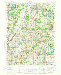
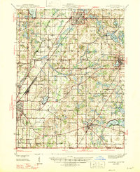
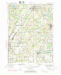
Editions of this 1945 Cassopolis Map
3 editions found