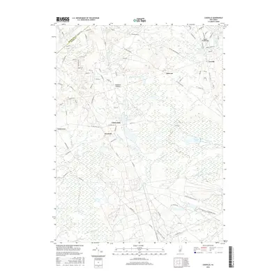
2016 Map of Cassville
USGS Topo · Published 2016About this map
Saint Vladimirs and Cassville sit at the northern edge of this New Jersey Pine Barrens landscape, where the headwaters of the Toms River begin their journey toward the coast. The area is defined by a dense network of watercourses and wetlands, including Shannoc Brook and the many branches of the Ruckels system, such as Middle Ruckels Br and S Ruckels Br. These streams historically powered the local economy, evidenced by names like Colliers Mills and Hartshorne Mill Stream.
Find a feature on this map
92 named features on this map. Tap any name to fly to it.
Don’t see what you’re looking for? This feature index may not catch every label — zoom into the map to look around manually.
Map Details
Editions of this 2016 Cassville Map
This is the sole edition of this map. No revisions or reprints were ever made.
Other maps of this area

1884 · Whitings
USGS Topo · 1:62,500

1888 · Bordentown
USGS Topo · 1:62,500

1888 · Pemberton
USGS Topo · 1:62,500

1888 · Cassville
USGS Topo · 1:62,500

1888 · Whitings
USGS Topo · 1:62,500

1893 · Bordentown
USGS Topo · 1:62,500

1894 · Cassville
USGS Topo · 1:62,500

1894 · Pemberton
USGS Topo · 1:62,500

1898 · Pemberton
USGS Topo · 1:62,500

1900 · Cassville
USGS Topo · 1:62,500
Featured Places
- Jackson Township, NJ
- Manchester Township, NJ
- Plumsted Township, NJ
- Upper Freehold Township, NJ
- Colliers Mills, Jackson Township