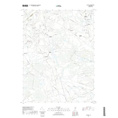
2019 Map of Cassville
USGS Topo · Published 2019About this map
Cassville and the surrounding Jackson Township landscape are defined by a complex network of wetlands and tributaries feeding into the Toms River. This 2019 survey captures a mix of established rural crossroads and newer residential pockets like Woodair Estates and Midwood. The southern portion of the map is significantly occupied by the Lakehurst Naval Air Center, while the central region is dominated by the sprawling conservation and water management areas of Colliers Mills and Colliers Lake. The terrain is crisscrossed by family-named waterways such as Bordens Mill Br, Elisha Br, and the Hartshorne Mill Stream, reflecting a long history of water-powered industry in the Pine Barrens region. To the north, the settlement of Saint Vladimirs sits near the Monmouth Co line, illustrating the varied cultural and community developments that have taken root in this part of New Jersey.
Find a feature on this map
99 named features on this map. Tap any name to fly to it.
Don’t see what you’re looking for? This feature index may not catch every label — zoom into the map to look around manually.
Map Details
Editions of this 2019 Cassville Map
This is the sole edition of this map. No revisions or reprints were ever made.
Other maps of this area

1884 · Whitings
USGS Topo · 1:62,500

1888 · Bordentown
USGS Topo · 1:62,500

1888 · Pemberton
USGS Topo · 1:62,500

1888 · Cassville
USGS Topo · 1:62,500

1888 · Whitings
USGS Topo · 1:62,500

1893 · Bordentown
USGS Topo · 1:62,500

1894 · Cassville
USGS Topo · 1:62,500

1894 · Pemberton
USGS Topo · 1:62,500

1898 · Pemberton
USGS Topo · 1:62,500

1900 · Cassville
USGS Topo · 1:62,500
Featured Places
- Jackson Township, NJ
- Manchester Township, NJ
- Plumsted Township, NJ
- Upper Freehold Township, NJ
- Colliers Mills, Jackson Township