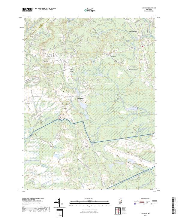
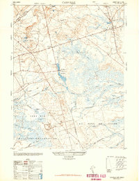
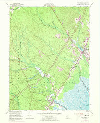
2023 Map of Cassville
USGS Topo · Published 2023About this map
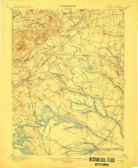
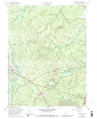
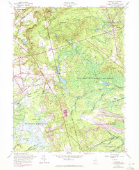
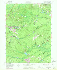
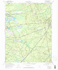
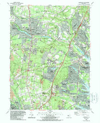
Colliers Mills and the surrounding Pine Barrens landscape define this portion of the New Jersey interior. The area is characterized by an intricate network of waterways including Colliers Lake, Success Lake, and Cassville Lake, which feed numerous branches and brooks such as Bordens Mill Branch and Shunny Brook. These water features highlight the historic reliance on mill streams and cranberry bogs that historically shaped the local economy and settlement patterns.
Find a feature on this map
98 named features on this map. Tap any name to fly to it.
Don’t see what you’re looking for? This feature index may not catch every label — zoom into the map to look around manually.
Map Details
Editions of this 2023 Cassville Map
This is the sole edition of this map. No revisions or reprints were ever made.
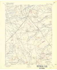
Historical Maps of Archers Corner Through Time
46 maps found

1884 Whitings
Ocean County, NJ

1888 Barnegat
Ocean County, NJ

1888 Cassville
Ocean County, NJ

1888 Little Egg Harbor
Ocean County, NJ

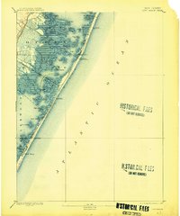
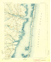
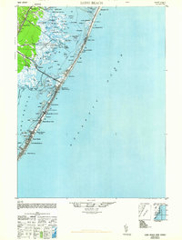
1888 Long Beach
Ocean County, NJ
1888 Whiting
Ocean County, NJ
1893 Barnegat
Ocean County, NJ
1893 Little Egg Harbor
Ocean County, NJ
1893 Long Beach
Ocean County, NJ

1894 Cassville
Ocean County, NJ
1898 Barnegat
Ocean County, NJ
1900 Cassville
Ocean County, NJ

1919 Barnegat
Ocean County, NJ

1919 Long Beach
Ocean County, NJ

1920 Little Egg Harbor
Ocean County, NJ

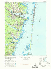
1941 Long Beach
Ocean County, NJ
1941 Toms River
Ocean County, NJ

1942 Whiting
Ocean County, NJ

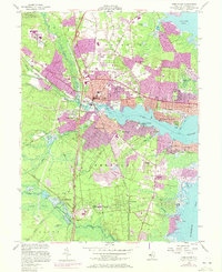
1947 Lakewood
Ocean County, NJ
1948 Cassville
Ocean County, NJ
1948 Long Beach
Ocean County, NJ
1948 Toms River
Ocean County, NJ
1949 Whiting
Ocean County, NJ

1951 Brookville
Ocean County, NJ

1951 Keswick Grove
Ocean County, NJ
1951 Long Beach NE
Ocean County, NJ
1951 West Creek
Ocean County, NJ

1951 Whiting
Ocean County, NJ
1953 Toms River
Ocean County, NJ
1954 Lakewood
Ocean County, NJ
1957 Brookville
Ocean County, NJ
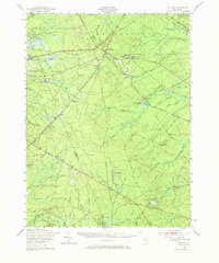
1957 Cassville
Ocean County, NJ
1957 Keswick Grove
Ocean County, NJ
1957 Whiting
Ocean County, NJ
1989 Lakewood
Ocean County, NJ

1989 Toms River
Ocean County, NJ

1995 Lakewood
Ocean County, NJ

1995 Toms River
Ocean County, NJ
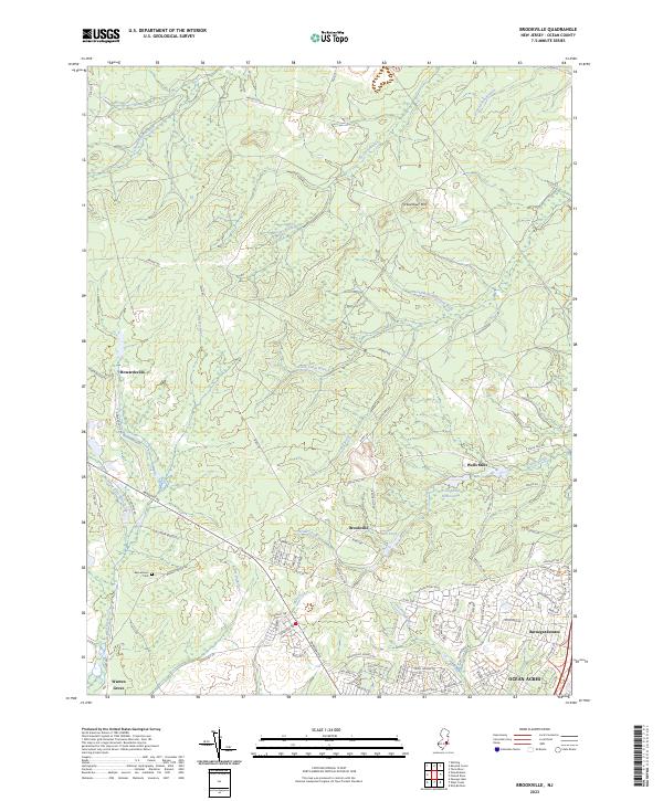
2023 Brookville
Ocean County, NJ
2023 Cassville
Ocean County, NJ

2023 Keswick Grove
Ocean County, NJ
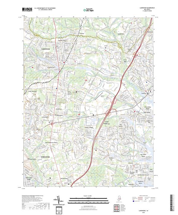
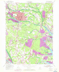
2023 Lakewood
Ocean County, NJ
2023 Long Beach NE
Ocean County, NJ

2023 Toms River
Ocean County, NJ
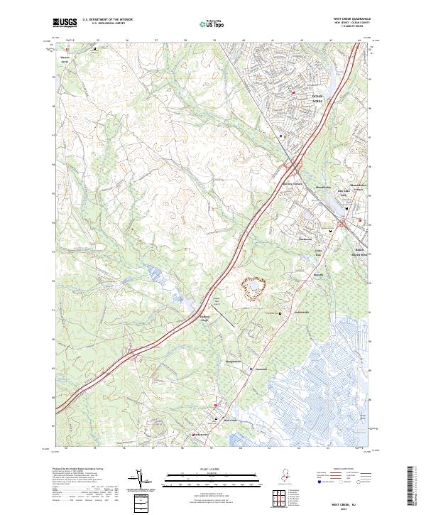
2023 West Creek
Ocean County, NJ
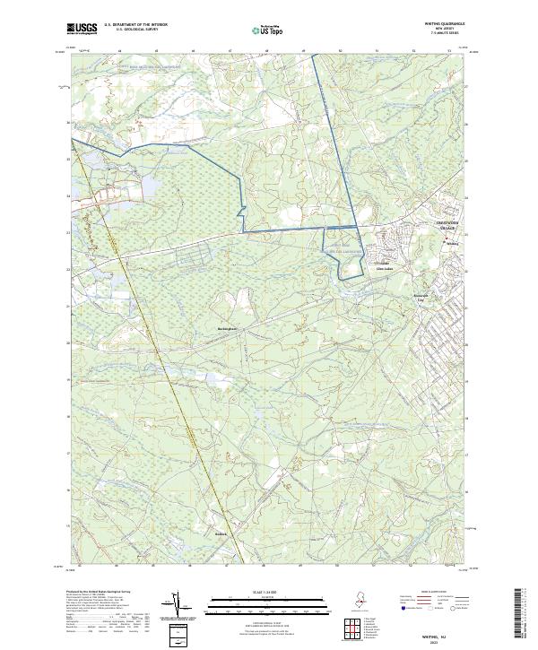
2023 Whiting
Ocean County, NJ
Featured Locations
- Plumsted Township, NJ
- Jackson Township, NJ
- Manchester Township, NJ
- Upper Freehold Township, NJ
- Colliers Mills, Jackson Township