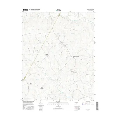
2016 Map of Castalia
USGS Topo · Published 2016About this map
The town of Castalia serves as the focal point of this Nash County landscape, where the rural character of the North Carolina coastal plain is defined by a series of historic road junctions. These intersections, including Lancaster Crossroads, Matthews Crossroads, Mays Crossroads, and Edwards Crossroads, illustrate a settlement pattern based on local commerce and community gathering points. The terrain is deeply influenced by the drainage of Big Peachtree Cr and Little Peachtree Cr, which feed into Boddies Millpond. To the south, Boddie Bridge spans the local wetlands near the community of Corinth. The map also details the Nash County Wildlife Lake and numerous smaller tributaries like Tumbling Run and Back Swamp, reflecting the region's agricultural and natural resource orientation. This 2016 survey provides a precise view of the modern road network, from Church St in the village center to the outlying Race Track Rd.
Find a feature on this map
73 named features on this map. Tap any name to fly to it.
Don’t see what you’re looking for? This feature index may not catch every label — zoom into the map to look around manually.
Map Details
Editions of this 2016 Castalia Map
This is the sole edition of this map. No revisions or reprints were ever made.
Other maps of this area

1902 · Rocky Mount
USGS Topo · 1:62,500

1902 · Spring Hope
USGS Topo · 1:62,500

1904 · Rocky Mount
USGS Topo · 1:62,500

1904 · Springhope
USGS Topo · 1:62,500

1953 · Norfolk
USGS Topo · 1:250,000

1953 · Rocky Mount
USGS Topo · 1:250,000

1953 · Raleigh
USGS Topo · 1:250,000

1953 · Greensboro
USGS Topo · 1:250,000

1954 · Greensboro
USGS Topo · 1:250,000

1954 · Rocky Mount
USGS Topo · 1:250,000