Loading...
Loading map...2022 Map of Castalia
USGS Topo · Published 2022About this map
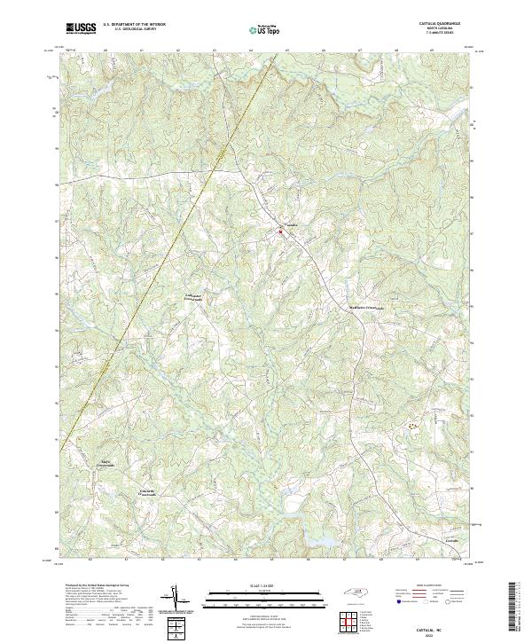
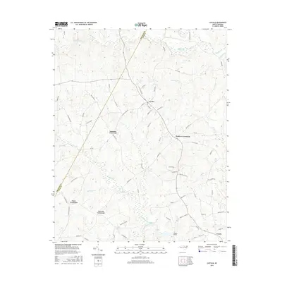
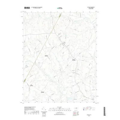
Castalia serves as the central hub of this rural landscape, situated along the Franklin and Nash county line. The map captures a topography defined by complex hydrologic networks, where numerous creeks such as Red Bud Creek and Sandy Creek drain the agricultural terrain. Significant local intersections are marked by traditional naming conventions, including Lancaster Crossroads and Matthews Crossroads, reflecting the established settlement patterns of the region.
Find a feature on this map
77 named features on this map. Tap any name to fly to it.
Don’t see what you’re looking for? This feature index may not catch every label — zoom into the map to look around manually.
Map Details
Date Portrayed2022
Date Published2022
PublisherU.S. Geological Survey
Map TypeTopographic
Scale1:24,000
Physical Dimensions24 x 29 inches
Editions of this 2022 Castalia Map
This is the sole edition of this map. No revisions or reprints were ever made.
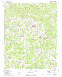
Historical Maps of Castalia Through Time
6 maps found
Featured Locations
Source Details
SourceU.S. Geological Survey
CopyrightPublic Domain