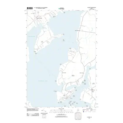
2011 Map of Castine
USGS Topo · Published 2011About this map
Castine and its strategic maritime position at the mouth of the Penobscot River anchor this coastal Maine survey. The area's military history is visible through the remains of Fort George and the British Canal, a shallow waterway cutting across the Bagaduce Peninsula to the Bagaduce River. To the north, the harbor at Stockton Springs and the expansive Cape Jellison provide deep-water access that has long defined the local economy.
Find a feature on this map
102 named features on this map. Tap any name to fly to it.
Don’t see what you’re looking for? This feature index may not catch every label — zoom into the map to look around manually.
Map Details
Editions of this 2011 Castine Map
This is the sole edition of this map. No revisions or reprints were ever made.
Other maps of this area

1900 · Orland
USGS Topo · 1:62,500

1900 · Bucksport
USGS Topo · 1:62,500

1902 · Bucksport
USGS Topo · 1:62,500

1902 · Castine
USGS Topo · 1:62,500

1904 · Castine
USGS Topo · 1:62,500

1904 · Bluehill
USGS Topo · 1:62,500

1905 · Penobscot Bay
USGS Topo · 1:125,000

1941 · Castine
USGS Topo · 1:62,500

1942 · Orland
USGS Topo · 1:62,500

1942 · Bucksport
USGS Topo · 1:62,500